THE ADVENTURE COLLECTIVE® · Independent discovery and booking for outdoor travel

Walk the Paso de Cortés saddle between Iztaccíhuatl and Popocatépetl on a guided day hike that mixes high‑altitude scenery with volcanic geology. Expect 12 km of mixed terrain at 3,670–4,000 m, with strong viewpoints and practical advice for altitude and footing.
Walk the Paso de Cortés saddle between Iztaccíhuatl and Popocatépetl on a guided day hike that mixes high‑altitude scenery with volcanic geology. Expect 12 km of mixed terrain at 3,670–4,000 m, with strong viewpoints and practical advice for altitude and footing.
You step out of the van and the air immediately feels different — thinner, cooler, and sharp with volcanic dust. The saddle at Paso de Cortés lays open between two giants: the stoic, sleep-shaped Iztaccíhuatl and the smoking throat of Popocatépetl. The trail begins as a wide dirt track that narrows into tundra-like slopes, pulling you up through pine stands onto windswept volcanic soils.
Verified experiences and guided adventures in the surrounding area.
Operated by Rafael Noreña Sánchez · Puebla, Puebla
You step out of the van and the air immediately feels different — thinner, cooler, and sharp with volcanic dust. The saddle at Paso de Cortés lays open between two giants: the stoic, sleep-shaped Iztaccíhuatl and the smoking throat of Popocatépetl. The trail begins as a wide dirt track that narrows into tundra-like slopes, pulling you up through pine stands onto windswept volcanic soils.
This landscape records fire and ice: lava flows, ash beds and glacial cirques carved during the last ice age. The park’s name recalls the two volcanoes’ Nahua legend — a sleeping woman and a warrior whose love and grief shaped the peaks — and the Pass itself bears colonial-era significance as a transit route used since Spanish conquest times.
Culturally, local communities around Puebla and Cholula maintain mountain traditions and guide services; interpreters point out medicinal plants and explain how the altitude shapes daily life.
Practically, expect a 12 km outing between roughly 3,670–4,000 m with stony, sometimes boggy terrain and exposed sections. Pace yourself for altitude; frequent short breaks and steady hydration matter more than speed. Footwear with good tread and ankle support helps on mixed dirt, scree, and grassy patches. Morning departures reduce wind and offer clearer views of Popocatépetl when conditions allow.
Leave no trace: stay on established tracks, pack out waste, and respect seasonal closures around volcanic activity. With clear skies the payoff is uncompromising — raw alpine panoramas, sculpted ridgelines and the sense of moving on land that’s still being reshaped by heat and time.
Although marketed for beginners, the route reaches ~4,000 m and covers 12 km; beginners with moderate fitness can do it if they move slowly and acclimatize first.
You may see ash plumes or steam on active days, but eruptions are monitored and guides will follow park closures and safety zones; tours can be canceled if activity increases.
Yes — private transport from Puebla or Cholula to the trailhead is included in the tour; pickup point is confirmed at booking.
Yes — entrance to Iztaccíhuatl‑Popocatépetl National Park and any required local fees are included with the excursion.
Rafael Noreña Sánchez operates guided outdoor trips and adventures with an emphasis on safety, stewardship, and memorable experiences.
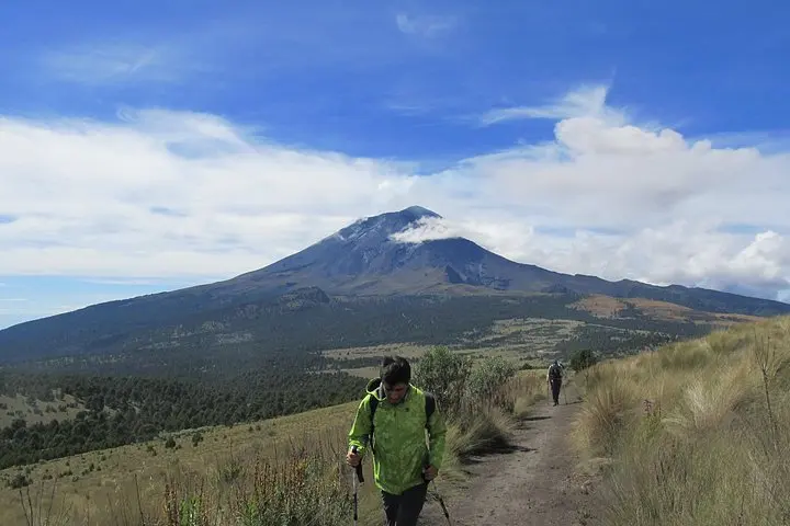
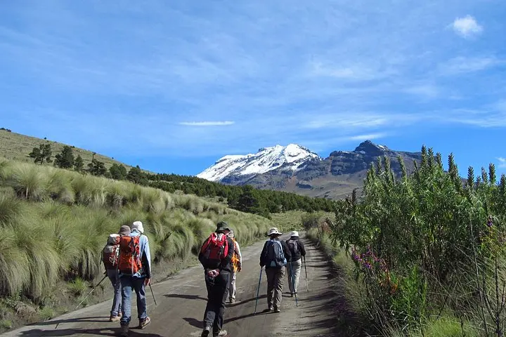
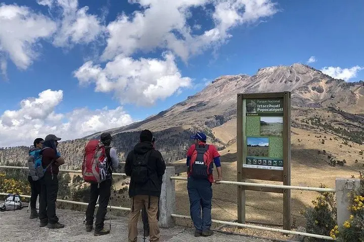
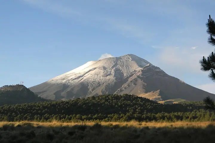
You step out of the van and the air immediately feels different — thinner, cooler, and sharp with volcanic dust. The saddle at Paso de Cortés lays open between two giants: the stoic, sleep-shaped Iztaccíhuatl and the smoking throat of Popocatépetl. The trail begins as a wide dirt track that narrows into tundra-like slopes, pulling you up through pine stands onto windswept volcanic soils.
You step out of the van and the air immediately feels different — thinner, cooler, and sharp with volcanic dust. The saddle at Paso de Cortés lays open between two giants: the stoic, sleep-shaped Iztaccíhuatl and the smoking throat of Popocatépetl. The trail begins as a wide dirt track that narrows into tundra-like slopes, pulling you up through pine stands onto windswept volcanic soils.
This landscape records fire and ice: lava flows, ash beds and glacial cirques carved during the last ice age. The park’s name recalls the two volcanoes’ Nahua legend — a sleeping woman and a warrior whose love and grief shaped the peaks — and the Pass itself bears colonial-era significance as a transit route used since Spanish conquest times.
Culturally, local communities around Puebla and Cholula maintain mountain traditions and guide services; interpreters point out medicinal plants and explain how the altitude shapes daily life.
Practically, expect a 12 km outing between roughly 3,670–4,000 m with stony, sometimes boggy terrain and exposed sections. Pace yourself for altitude; frequent short breaks and steady hydration matter more than speed. Footwear with good tread and ankle support helps on mixed dirt, scree, and grassy patches. Morning departures reduce wind and offer clearer views of Popocatépetl when conditions allow.
Leave no trace: stay on established tracks, pack out waste, and respect seasonal closures around volcanic activity. With clear skies the payoff is uncompromising — raw alpine panoramas, sculpted ridgelines and the sense of moving on land that’s still being reshaped by heat and time.