THE ADVENTURE COLLECTIVE® · Independent discovery and booking for outdoor travel

A full-day guided hike from Baños climbs through Andean moorland to Martínez Refuge at ~3,800 m for panoramic views of Tungurahua, Chimborazo and Carihuayrazo. Expect 4 km uphill, volcanic scree, and variable weather—ideal for fit hikers comfortable with altitude.
A full-day guided hike from Baños climbs through Andean moorland to Martínez Refuge at ~3,800 m for panoramic views of Tungurahua, Chimborazo and Carihuayrazo. Expect 4 km uphill, volcanic scree, and variable weather—ideal for fit hikers comfortable with altitude.
You step out of Baños' humid air and into a crisp, thin wind that climbs with you. The private minivan climbs the serpentine road toward Sangay National Park, and scrub gives way to moorland; every bend opens a wider view of Tungurahua’s scoured flanks. At Martínez Refuge (≈3,800 m) the volcano looms—dark rock and recent ash—while the valley below folds toward the Pastaza River.
Verified experiences and guided adventures in the surrounding area.
Operated by Turismo Ecuador 24 · Baños de Agua Santa, Tungurahua
You step out of Baños' humid air and into a crisp, thin wind that climbs with you. The private minivan climbs the serpentine road toward Sangay National Park, and scrub gives way to moorland; every bend opens a wider view of Tungurahua’s scoured flanks. At Martínez Refuge (≈3,800 m) the volcano looms—dark rock and recent ash—while the valley below folds toward the Pastaza River.
Tungurahua is an active stratovolcano with frequent eruptions in the past century; the refuge route uses old agricultural trails that trace parish boundaries and volcanic ash layers. Geology is visible in the black tephra and the steep erosion gullies; culture shows in roadside guinea pig farms and the thermal-town rhythms of Baños where bathhouses and cafés fuel hikers.
Practicalities are straightforward: the tour starts in Baños de Agua Santa with private transport to ~2,800 m, then a 4 km ascent and roughly 1,000 m of gain to the refuge—plan on 3–4 hours uphill depending on pace and altitude tolerance. Total outing time is about 7–8 hours round-trip with a guided snack or brunch at the refuge. Trails vary from packed volcanic scree to grassy switches; footwear with good grip matters. Bring layered clothing for rapid weather changes, hydrate early to reduce altitude effects, and move deliberately on loose slopes. The operator provides transport, guide, and snacks; not recommended for pregnant travelers, those with serious heart or spinal conditions, or anyone unable to hike at a steady moderate-to-strong pace. If the volcano is active or weather closes in, schedules can change—carry flexible plans and respect ranger and guide instructions.
The route is a steady 4 km ascent with about 1,000 m gain—3–4 hours up depending on fitness and altitude; the operator rates it as suitable for those with moderate fitness.
Yes—private transportation from Baños and a guide are included, plus a snack/brunch at the refuge.
Acclimatize in Baños if possible, stay hydrated, ascend at a steady pace, and descend if you feel severe headache, nausea, or dizziness; this trip is not recommended for people with heart conditions or pregnancy.
Yes—the operator cancels for bad weather or volcanic risk and offers a full refund if canceled at least 24 hours before departure per their policy.
Turismo Ecuador 24 operates guided outdoor trips and adventures with an emphasis on safety, stewardship, and memorable experiences.
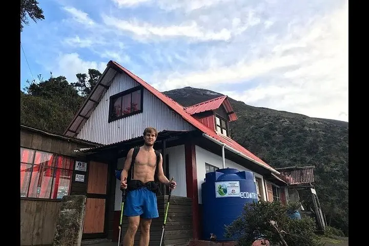
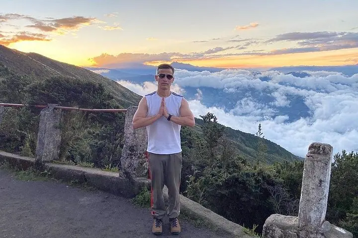
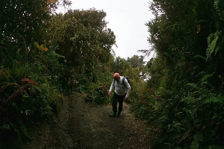
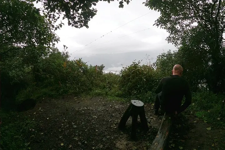
You step out of Baños' humid air and into a crisp, thin wind that climbs with you. The private minivan climbs the serpentine road toward Sangay National Park, and scrub gives way to moorland; every bend opens a wider view of Tungurahua’s scoured flanks. At Martínez Refuge (≈3,800 m) the volcano looms—dark rock and recent ash—while the valley below folds toward the Pastaza River.
You step out of Baños' humid air and into a crisp, thin wind that climbs with you. The private minivan climbs the serpentine road toward Sangay National Park, and scrub gives way to moorland; every bend opens a wider view of Tungurahua’s scoured flanks. At Martínez Refuge (≈3,800 m) the volcano looms—dark rock and recent ash—while the valley below folds toward the Pastaza River.
Tungurahua is an active stratovolcano with frequent eruptions in the past century; the refuge route uses old agricultural trails that trace parish boundaries and volcanic ash layers. Geology is visible in the black tephra and the steep erosion gullies; culture shows in roadside guinea pig farms and the thermal-town rhythms of Baños where bathhouses and cafés fuel hikers.
Practicalities are straightforward: the tour starts in Baños de Agua Santa with private transport to ~2,800 m, then a 4 km ascent and roughly 1,000 m of gain to the refuge—plan on 3–4 hours uphill depending on pace and altitude tolerance. Total outing time is about 7–8 hours round-trip with a guided snack or brunch at the refuge. Trails vary from packed volcanic scree to grassy switches; footwear with good grip matters. Bring layered clothing for rapid weather changes, hydrate early to reduce altitude effects, and move deliberately on loose slopes. The operator provides transport, guide, and snacks; not recommended for pregnant travelers, those with serious heart or spinal conditions, or anyone unable to hike at a steady moderate-to-strong pace. If the volcano is active or weather closes in, schedules can change—carry flexible plans and respect ranger and guide instructions.