THE ADVENTURE COLLECTIVE® · Independent discovery and booking for outdoor travel

Walk an exclusive 8 km circuit outside Purmamarca through a dry riverbed and a 40 m mud maze to 2,700 m elevation. This 4-hour interpretive trek highlights layered geology, native plants and the possibility of spotting condors on thermals.
Walk an exclusive 8 km circuit outside Purmamarca through a dry riverbed and a 40 m mud maze to 2,700 m elevation. This 4-hour interpretive trek highlights layered geology, native plants and the possibility of spotting condors on thermals.
You leave the gravel of the village behind and enter a wide, dry riverbed where wind and sun have been carving the hills for millennia. The trail runs through exposed strata of reds, ochres and grays; when a gust sweeps the valley it feels as if the landscape is rearranging itself. After several kilometers the path narrows into a mud maze with vertical walls rising more than 40 meters — a natural corridor that concentrates light and silence.
Verified experiences and guided adventures in the surrounding area.
Operated by Purmamarca Aniacho Turismo · Purmamarca, Jujuy
You leave the gravel of the village behind and enter a wide, dry riverbed where wind and sun have been carving the hills for millennia. The trail runs through exposed strata of reds, ochres and grays; when a gust sweeps the valley it feels as if the landscape is rearranging itself. After several kilometers the path narrows into a mud maze with vertical walls rising more than 40 meters — a natural corridor that concentrates light and silence.
This route skirts the outskirts of Purmamarca and sits within the Quebrada de Humahuaca, a UNESCO-listed corridor noted for tectonic uplift and salt-and-clay stratification. Geological forces laid down the banded sediments here; later erosion exposed them in dramatic folds. The human history is layered too: indigenous Omaguaca communities used these valleys for llama herding and medicinal plants, and local guides still share stories of native flora and traditional uses.
Expect roughly 8 km round-trip and an ascent to about 2,700 meters above sea level over a 4-hour outing. The terrain alternates hard-packed riverbed, loose gravel, and narrow, sandy channels, so footing can be variable. Weather is sun-dominant; wind and rapid temperature swings are common. Wear sturdy boots, carry 2–3 liters of water, sun protection and a wind layer. Start early to avoid intense midday radiation and to increase your chances of spotting a condor riding the thermals. The trek is private and interpretive — not a race, but an informed walk where geology, plants and local culture shape the route.
The total route is about 8 km round-trip with a maximum elevation near 2,700 m; it's rated moderate and takes roughly four hours at a steady, non-rushed pace.
There are no facilities or potable water on the circuit; bring all water you need and use restrooms in town before departure.
The operator advises moderate fitness and does not recommend the route for pregnant travelers; older children with hiking experience may join under supervision.
Most groups meet at a local tourism office in Purmamarca; the route begins on the town outskirts with a short transfer or walk to trailhead depending on the operator.
Purmamarca Aniacho Turismo operates guided outdoor trips and adventures with an emphasis on safety, stewardship, and memorable experiences.
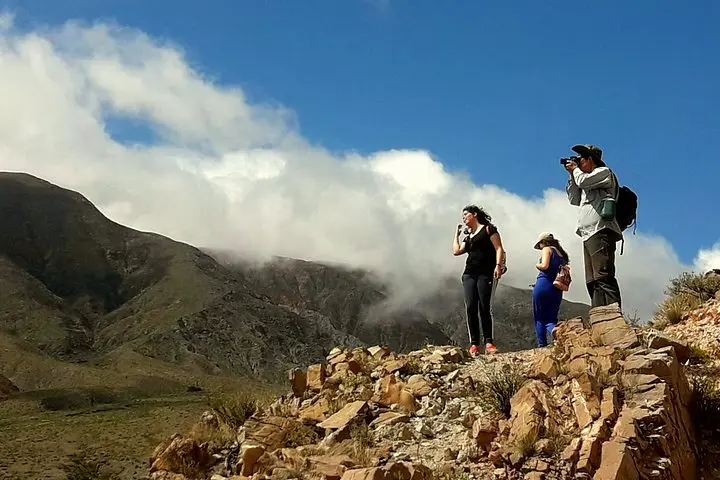
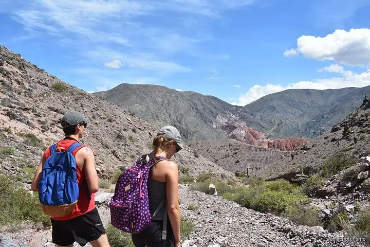
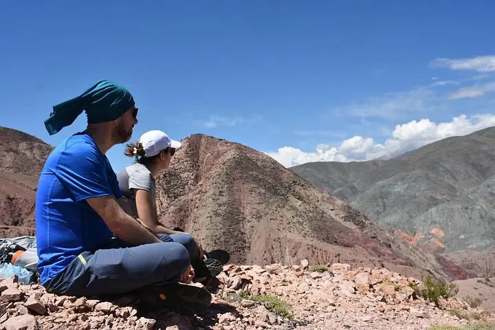
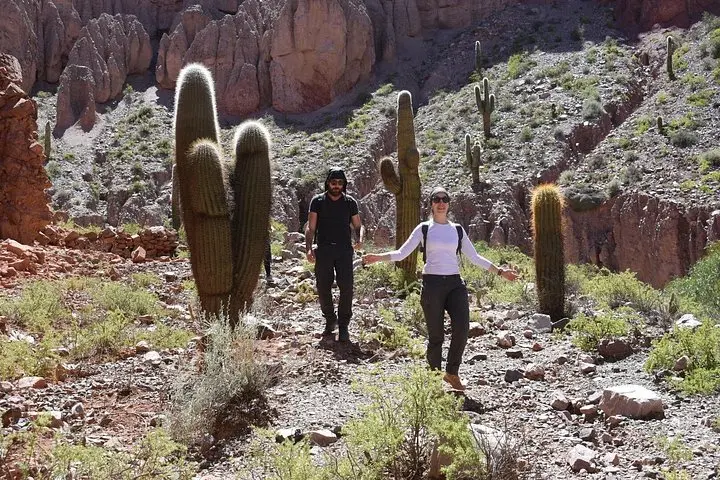
You leave the gravel of the village behind and enter a wide, dry riverbed where wind and sun have been carving the hills for millennia. The trail runs through exposed strata of reds, ochres and grays; when a gust sweeps the valley it feels as if the landscape is rearranging itself. After several kilometers the path narrows into a mud maze with vertical walls rising more than 40 meters — a natural corridor that concentrates light and silence.
You leave the gravel of the village behind and enter a wide, dry riverbed where wind and sun have been carving the hills for millennia. The trail runs through exposed strata of reds, ochres and grays; when a gust sweeps the valley it feels as if the landscape is rearranging itself. After several kilometers the path narrows into a mud maze with vertical walls rising more than 40 meters — a natural corridor that concentrates light and silence.
This route skirts the outskirts of Purmamarca and sits within the Quebrada de Humahuaca, a UNESCO-listed corridor noted for tectonic uplift and salt-and-clay stratification. Geological forces laid down the banded sediments here; later erosion exposed them in dramatic folds. The human history is layered too: indigenous Omaguaca communities used these valleys for llama herding and medicinal plants, and local guides still share stories of native flora and traditional uses.
Expect roughly 8 km round-trip and an ascent to about 2,700 meters above sea level over a 4-hour outing. The terrain alternates hard-packed riverbed, loose gravel, and narrow, sandy channels, so footing can be variable. Weather is sun-dominant; wind and rapid temperature swings are common. Wear sturdy boots, carry 2–3 liters of water, sun protection and a wind layer. Start early to avoid intense midday radiation and to increase your chances of spotting a condor riding the thermals. The trek is private and interpretive — not a race, but an informed walk where geology, plants and local culture shape the route.