THE ADVENTURE COLLECTIVE® · Independent discovery and booking for outdoor travel

Spend two days hiking from Imlil to Mont Tawdja, combining a summit ridge walk with village stays and traditional meals. This accessible High Atlas trip blends 700 m of elevation gain, local culture and panoramic views over the Toubkal massif.
Spend two days hiking from Imlil to Mont Tawdja, combining a summit ridge walk with village stays and traditional meals. This accessible High Atlas trip blends 700 m of elevation gain, local culture and panoramic views over the Toubkal massif.
Dawn lifts the High Atlas in a wash of pale gold as the road from Marrakech unwinds toward Imlil. By mid-morning the bus deposits you where mule tracks and paved village lanes meet—your boots sink into red earth, and the mountains begin to speak. The first day climbs roughly 700 meters over 10 km to Mont Tawdja (≈2,600 m), threading forested gullies, exposed crêtes and a high pass—Tizi n’Tamatert—before opening to a 360° summit that looks over the Toubkal massif.
Verified experiences and guided adventures in the surrounding area.
Operated by Toubkal Community · Imlil, Marrakesh-Safi
Dawn lifts the High Atlas in a wash of pale gold as the road from Marrakech unwinds toward Imlil. By mid-morning the bus deposits you where mule tracks and paved village lanes meet—your boots sink into red earth, and the mountains begin to speak. The first day climbs roughly 700 meters over 10 km to Mont Tawdja (≈2,600 m), threading forested gullies, exposed crêtes and a high pass—Tizi n’Tamatert—before opening to a 360° summit that looks over the Toubkal massif.
This ridgewalk sits on geology of folded sedimentary and volcanic rocks sculpted by glacial action during the Quaternary; terraces and dry-stone irrigation reflect centuries of Amazigh (Berber) agriculture. Villages like Mazik and Imlil are working communities where guesthouses serve tagine and mint tea, and winter snows feed the spring water system.
Expect varied terrain: loose scree on upper slopes, compact dirt trails in the valleys and narrow village lanes. The itinerary pairs active hiking with cultural time—an evening in a local gîte, traditional Moroccan breakfast, and a summit picnic looking toward the Toubkal bowl. Guides handle logistics and route-finding, so navigation demands are low but weather and altitude change the game quickly.
Practical edge: start early to avoid afternoon winds, carry layered clothing for rapid temperature shifts, and bring at least 2–3 liters of water for the summit day. Respect local rhythms—ask before photographing people—and pack out waste. This two-day loop is a compact, accessible High Atlas primer that rewards steady legs and curiosity.
The route is classed moderate: 10 km and about +700 m elevation on day one; steady fitness and correct footwear make it accessible to most hikers.
Mont Tawdja (~2,600 m) is moderate altitude—most people adapt without issue, but hydrate, eat, and mention any history of altitude problems to your guide.
The trip includes a traditional Moroccan breakfast, a summit picnic lunch and a cooked tagine dinner; overnight is in a family-run gîte with shared rooms.
Yes—this itinerary is designed for beginners with reasonable fitness; guides handle navigation and pacing for small groups (max 6).
Toubkal Community operates guided outdoor trips and adventures with an emphasis on safety, stewardship, and memorable experiences.
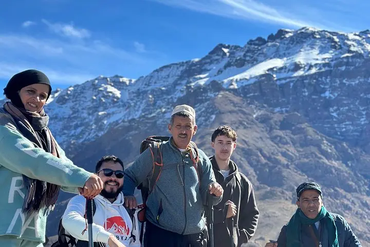
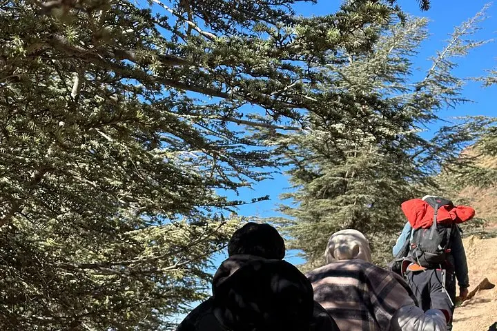
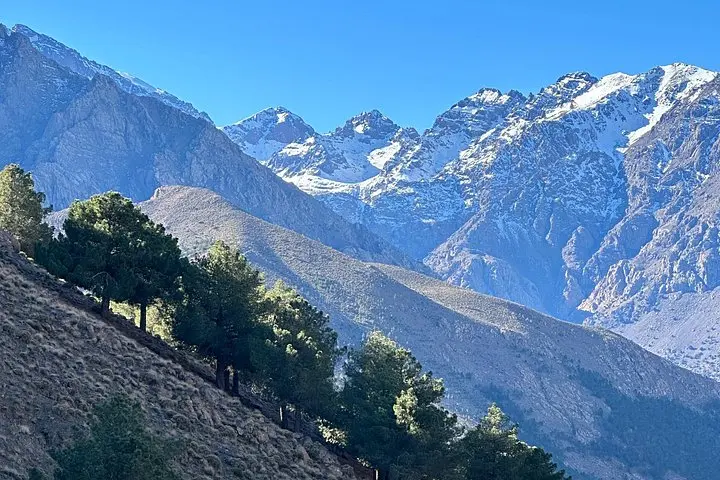
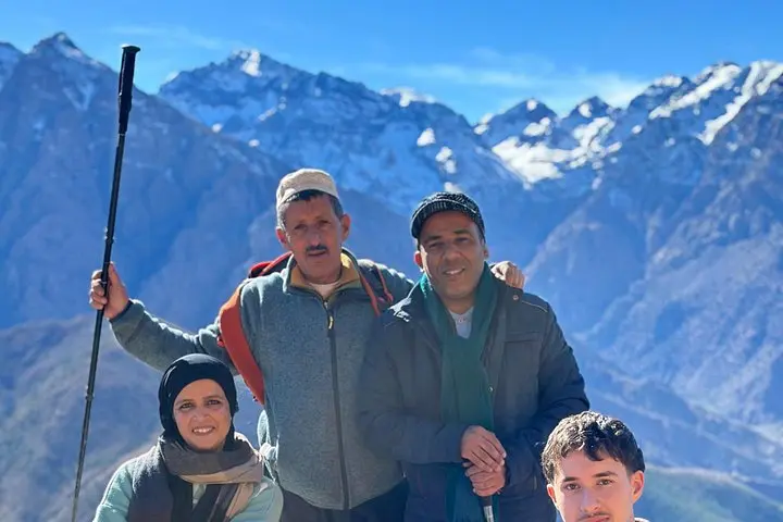
Dawn lifts the High Atlas in a wash of pale gold as the road from Marrakech unwinds toward Imlil. By mid-morning the bus deposits you where mule tracks and paved village lanes meet—your boots sink into red earth, and the mountains begin to speak. The first day climbs roughly 700 meters over 10 km to Mont Tawdja (≈2,600 m), threading forested gullies, exposed crêtes and a high pass—Tizi n’Tamatert—before opening to a 360° summit that looks over the Toubkal massif.
Dawn lifts the High Atlas in a wash of pale gold as the road from Marrakech unwinds toward Imlil. By mid-morning the bus deposits you where mule tracks and paved village lanes meet—your boots sink into red earth, and the mountains begin to speak. The first day climbs roughly 700 meters over 10 km to Mont Tawdja (≈2,600 m), threading forested gullies, exposed crêtes and a high pass—Tizi n’Tamatert—before opening to a 360° summit that looks over the Toubkal massif.
This ridgewalk sits on geology of folded sedimentary and volcanic rocks sculpted by glacial action during the Quaternary; terraces and dry-stone irrigation reflect centuries of Amazigh (Berber) agriculture. Villages like Mazik and Imlil are working communities where guesthouses serve tagine and mint tea, and winter snows feed the spring water system.
Expect varied terrain: loose scree on upper slopes, compact dirt trails in the valleys and narrow village lanes. The itinerary pairs active hiking with cultural time—an evening in a local gîte, traditional Moroccan breakfast, and a summit picnic looking toward the Toubkal bowl. Guides handle logistics and route-finding, so navigation demands are low but weather and altitude change the game quickly.
Practical edge: start early to avoid afternoon winds, carry layered clothing for rapid temperature shifts, and bring at least 2–3 liters of water for the summit day. Respect local rhythms—ask before photographing people—and pack out waste. This two-day loop is a compact, accessible High Atlas primer that rewards steady legs and curiosity.