THE ADVENTURE COLLECTIVE® · Independent discovery and booking for outdoor travel

See Wellington’s harbour, islands and city landmarks from a compact helicopter flight. This 15‑minute tour delivers panoramic views, pilot commentary, and quick access for cruise passengers and city visitors.
See Wellington’s harbour, islands and city landmarks from a compact helicopter flight. This 15‑minute tour delivers panoramic views, pilot commentary, and quick access for cruise passengers and city visitors.
The helicopter rises above Wellington’s compact skyline and the city slips away into a braided coast of headlands, wharves and open sea. From the cabin you can feel the harbour broaden beneath you—green slopes of Mount Victoria giving way to the ribbon of water that threads past Matiu/Somes Island and out toward Cook Strait. The pilot points out Te Papa’s angle and the curved roof of the Cake Tin, while the wind-sculpted hills of the south coast push the view outward.
Verified experiences and guided adventures in the surrounding area.
Operated by Wellington Helicopters · Wellington, Wellington
The helicopter rises above Wellington’s compact skyline and the city slips away into a braided coast of headlands, wharves and open sea. From the cabin you can feel the harbour broaden beneath you—green slopes of Mount Victoria giving way to the ribbon of water that threads past Matiu/Somes Island and out toward Cook Strait. The pilot points out Te Papa’s angle and the curved roof of the Cake Tin, while the wind-sculpted hills of the south coast push the view outward.
Wellington’s modern waterfront sits on land shaped by tectonic pulls and seismic history; the harbour is a drowned river valley carved and refilled by changing sea levels and earthquakes. From the air it’s easier to read the city’s geology: fault lines folding suburbs, coastal cliffs revealing layered sediments, and the low-lying islands that were once strategic Maori and colonial waypoints.
This short flight is both sightseeing and orientation—perfect for visitors arriving by ferry or cruise, and for locals who want perspective on the city’s compact geography. The pilot’s commentary places landmarks in cultural context, from Zealandia’s restoration work to Matiu/Somes Island’s wartime past.
Practical guidance: flights are 15 minutes of airborne time but allow additional pre-flight briefing; weight and balance limits apply. Expect quick transitions, secure loose items, and bring a compact camera or phone with a wrist strap. Visibility and wind determine whether the route reaches Cook Strait; schedule morning slots for calmer air and the best light. If weather cancels, operators usually offer an alternative date or a refund.
The advertised airborne time is 15 minutes; expect additional time for pre-flight briefings and boarding.
Children under three may ride free if they do not occupy a seat; infants must sit on an adult’s lap—confirm policy at booking.
Flights are subject to weather and minimum passenger numbers; if cancelled you’ll be offered an alternative date or full refund.
Yes—operators perform weight and balance checks and request passenger weights at booking for safety and load planning.
Wellington Helicopters operates guided outdoor trips and adventures with an emphasis on safety, stewardship, and memorable experiences.
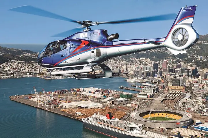
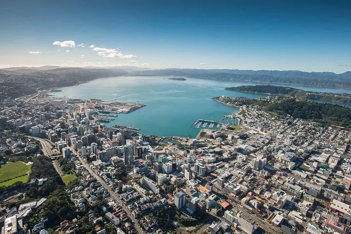
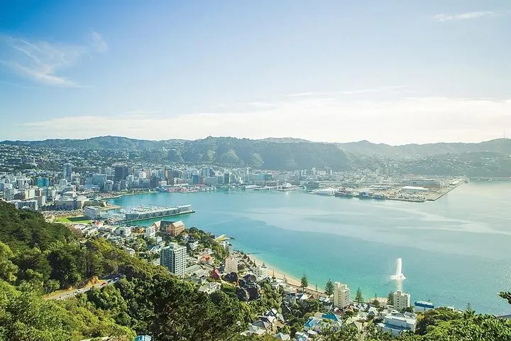
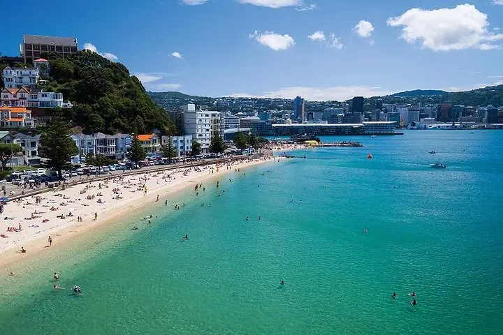
The helicopter rises above Wellington’s compact skyline and the city slips away into a braided coast of headlands, wharves and open sea. From the cabin you can feel the harbour broaden beneath you—green slopes of Mount Victoria giving way to the ribbon of water that threads past Matiu/Somes Island and out toward Cook Strait. The pilot points out Te Papa’s angle and the curved roof of the Cake Tin, while the wind-sculpted hills of the south coast push the view outward.
The helicopter rises above Wellington’s compact skyline and the city slips away into a braided coast of headlands, wharves and open sea. From the cabin you can feel the harbour broaden beneath you—green slopes of Mount Victoria giving way to the ribbon of water that threads past Matiu/Somes Island and out toward Cook Strait. The pilot points out Te Papa’s angle and the curved roof of the Cake Tin, while the wind-sculpted hills of the south coast push the view outward.
Wellington’s modern waterfront sits on land shaped by tectonic pulls and seismic history; the harbour is a drowned river valley carved and refilled by changing sea levels and earthquakes. From the air it’s easier to read the city’s geology: fault lines folding suburbs, coastal cliffs revealing layered sediments, and the low-lying islands that were once strategic Maori and colonial waypoints.
This short flight is both sightseeing and orientation—perfect for visitors arriving by ferry or cruise, and for locals who want perspective on the city’s compact geography. The pilot’s commentary places landmarks in cultural context, from Zealandia’s restoration work to Matiu/Somes Island’s wartime past.
Practical guidance: flights are 15 minutes of airborne time but allow additional pre-flight briefing; weight and balance limits apply. Expect quick transitions, secure loose items, and bring a compact camera or phone with a wrist strap. Visibility and wind determine whether the route reaches Cook Strait; schedule morning slots for calmer air and the best light. If weather cancels, operators usually offer an alternative date or a refund.