Backpacking through Eglin Air Force Base Trails
7
Backpacking through Eglin Air Force Base Trails
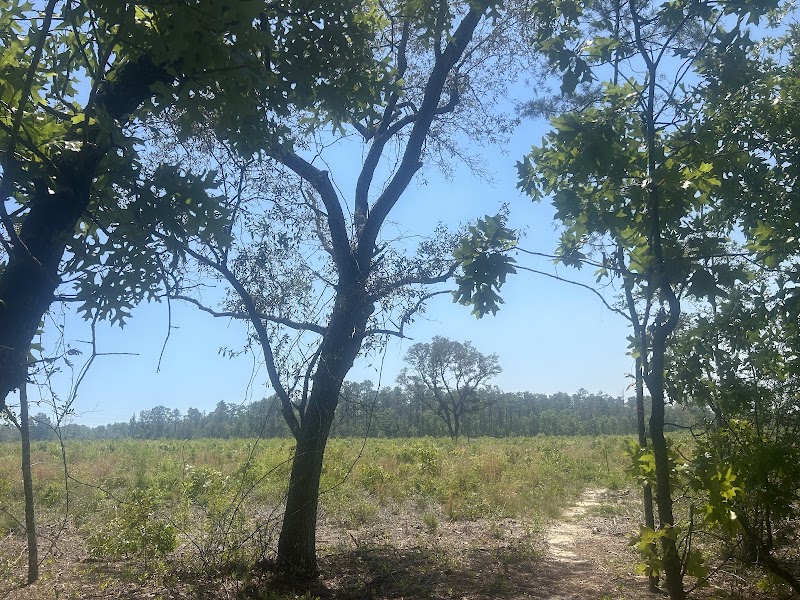
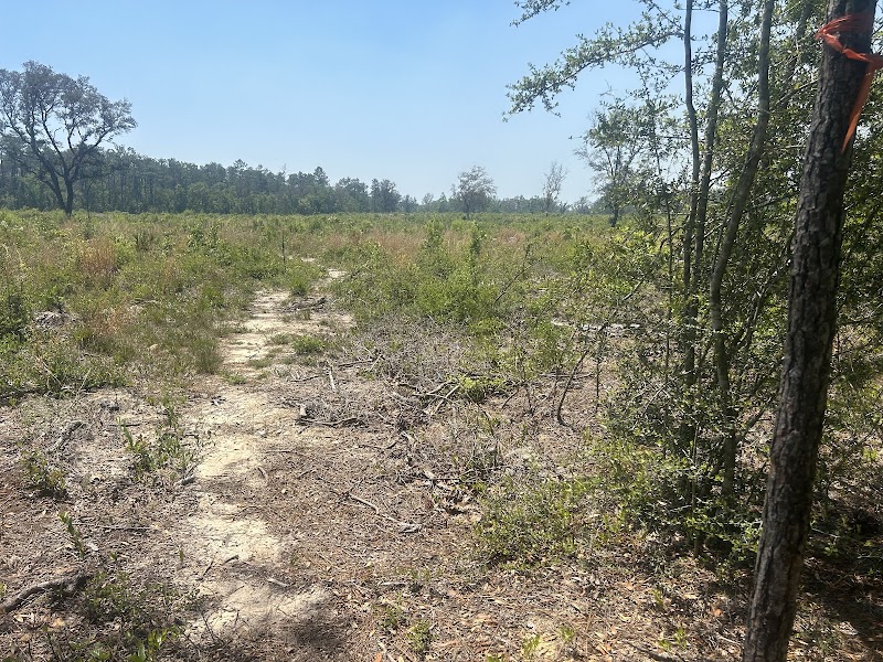
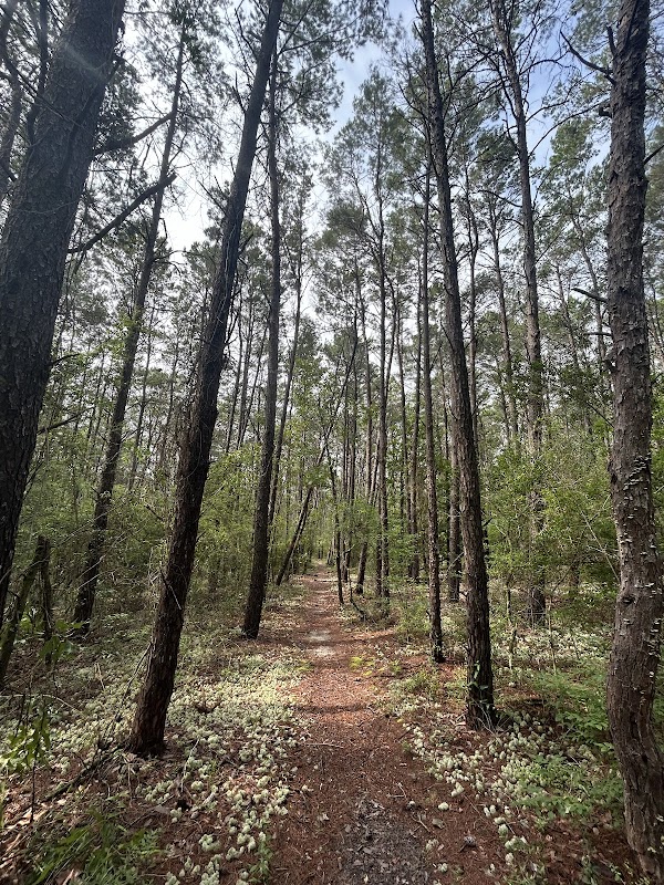
Eglin Air Force Base in Florida is home to an impressive network of trails offering backpackers a chance to experience diverse ecosystems, historical sites, and challenging terrains. Covering over 250,000 acres, the base includes pine forests, wetlands, and rolling sandhills. These trails offer solitude and an opportunity to see native wildlife, including deer, wild hogs, and migratory birds. A permit is required to access the base's natural areas, ensuring conservation efforts and safety for hikers.
Adventure Guide To Backpacking through Eglin Air Force Base Trails
Florida Trail (Eglin Section)
- Location: Runs through Eglin Air Force Base as part of the Florida National Scenic Trail.
- What makes it special: This well-maintained path offers backpackers a mix of sandy trails, river crossings, and dense woodlands. Hikers experience remote, peaceful stretches with minimal foot traffic.
- Key features: Varied terrain with river views, access to small waterfalls, and seasonal wildflowers. Several primitive camping spots allow multi-day trips.
Timberlake Trails
- Location: Near Niceville, Timberlake Recreation Area.
- What makes it special: A good starting point for shorter backpacking trips, leading into denser forested terrain with shaded paths.
- Key features: Rustic camping areas, access to Timberlake for fishing or cooling down, and restrooms at designated areas.
East Bay River Trail
- Location: Northern portion of Eglin’s range near East Bay River.
- What makes it special: This trail follows the river, offering stunning water views and an opportunity to spot ospreys and bald eagles.
- Key features: Numerous boardwalks over wetlands, frequent wildlife sightings, and remote camping locations.
Local Insights
- Eglin’s trail system is historically significant, walking through old military test areas and former homesteads.
- Remnants of early 20th-century turpentine harvesting sites remain along some paths, showcasing the region’s history.
Visitor Tips
- Best time to visit: October through April for cooler temperatures and fewer insects.
- What to bring: Backpack, water filtration system, insect repellent, sturdy hiking boots, base permits.
- Driving directions: From Navarre Beach, take US-98 W to FL-285 N. Drive time is approximately 45 minutes.
Rating:
7.0