Trail Running the River to River Trail: Illinois' Ultimate Endurance Path
Stretching 160 miles from the Ohio to the Mississippi River, Illinois’ River to River Trail offers a rugged trail running challenge through forests, bluffs, and streams. This guide equips you with essential tips and practical insights to tackle one of the Midwest's ultimate endurance routes.
Trail Tips
Hydration Planning is Key
Water sources are irregular along the trail; carry at least two liters of water and know refill points ahead of time to avoid dehydration issues.
Wear Trail-Specific Footwear
Choose shoes with sturdy soles and solid ankle support to handle rocky and uneven terrain safely.
Start Early to Avoid Heat
Begin your run early in the day, especially in summer months, to beat the heat and preserve energy for tougher afternoon stretches.
Use Navigation Tools
Blazes can be easy to miss; carry a GPS device or detailed maps to keep on track and plan your checkpoints.
Trail Running the River to River Trail: Illinois' Ultimate Endurance Path
Stretching across 160 miles from the mighty Ohio River to the steadfast Mississippi, the River to River Trail invites runners to embrace an endurance challenge framed by Illinois’ rich landscapes. This trail is no casual jog through open fields; it demands respect from every runner as it winds fiercely through rugged bluffs, deep forested valleys, and rocky ascents.
Starting near Cave-in-Rock at the Ohio River’s edge, the trail dares you to match its rhythm. The route tests your stamina and wit with elevation gains totaling roughly 6,100 feet—significant for Illinois terrain—where rocky outcrops shift surfaces underfoot and shaded tree canopies battle the sun’s determination overhead. Expect terrain that is a mix of packed dirt, jagged rock steps, and loose gravel, each step a conversation with the earth beneath.
The southern Illinois forest isn’t just background scenery; it’s alive and watching. Oaks and maples stand like sentinels, their leaves whispering shifts in the wind. Streams cross the trail with currents that nudge your legs, refreshing but demanding focus. Wildlife—from the darting chipmunk to the watchful red-tailed hawk—adds layers to the experience, popping in and out of your peripheral vision.
For those plotting the run, timing is key. Early spring and late fall present cooler temps that temper the trail’s challenge without sacrificing scenic richness. Summer can oppress, thick with humidity and heat that sap energy quickly. Hydration planning is critical: multiple water refill points are spaced unevenly along the path, so carry a capacity of at least two liters and know where the next source lies.
Footwear needs to strike a balance between grip and cushion. Trail shoes with sturdy soles and ample forefoot protection are a must. The trail’s rocky stretches challenge your ankles and demand stability over speed. Layering lightweight apparel that breathes and wicks moisture will keep you comfortable as conditions shift.
Navigation is straightforward but never underestimate the trail’s ability to distract or mislead. The green-and-white blazes are frequent but easy to miss in dim light or dense foliage. Carry a detailed map or GPS unit, and plan segments based on access to road crossings or trailheads to break the run into manageable milestones.
The River to River Trail doesn’t just hand over miles; it hands you an experience fiercely tied to place, endurance, and your own resolve. Respect its wild personality and prepare pragmatically—this trail will test your body, sharpen your senses, and offer the rare reward of Illinois wilderness truly in motion.
Recommended Gear
Trail Running Shoes
Provide grip, protection, and ankle support on rocky and uneven terrain.
null specific
Hydration Pack
Enables carrying sufficient water for long stretches without water sources.
summer specific
Lightweight Layered Clothing
Helps regulate body temperature as conditions and elevations shift.
spring|fall specific
GPS Device or Trail Map
Ensures you stay on course despite inconsistent trail markings.
null specific
Frequently Asked Questions
How difficult is the River to River Trail for running?
The trail is challenging due to its length, elevation changes, and technical terrain. It requires good endurance, trail experience, and preparation.
Where is the best place to start a run on the trail?
Many runners start at Cave-in-Rock near the Ohio River and head west toward the Mississippi, allowing a progression from rugged bluff country to more rolling terrain.
Are there reliable water sources along the trail?
Water sources exist but can be inconsistent. It’s crucial to refill whenever possible and carry extra water, especially in warmer months.
Is the trail well-marked for solo runners?
It’s marked with green and white blazes, but signs can be obscured by foliage or weather. Carrying a GPS or detailed map is highly recommended.
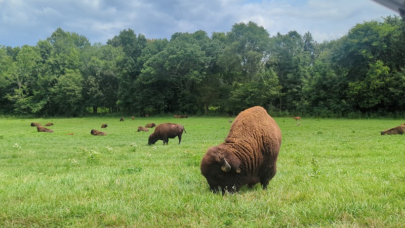
What wildlife might I encounter on the trail?
You may see white-tailed deer, wild turkeys, red-tailed hawks, and smaller woodland creatures like squirrels and chipmunks.
Can the trail be run year-round?
While technically possible, winter running is risky due to icy conditions and cold temperatures. Spring, fall, and early summer are safer and more comfortable choices.
Nearby Landmarks
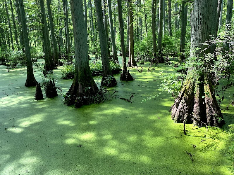
Discover the Cache River State Natural Area
Tucked away in southern Illinois, the Cache River State Natural Area is a hidden gem that captivates visitors with its lush landscape and unique...
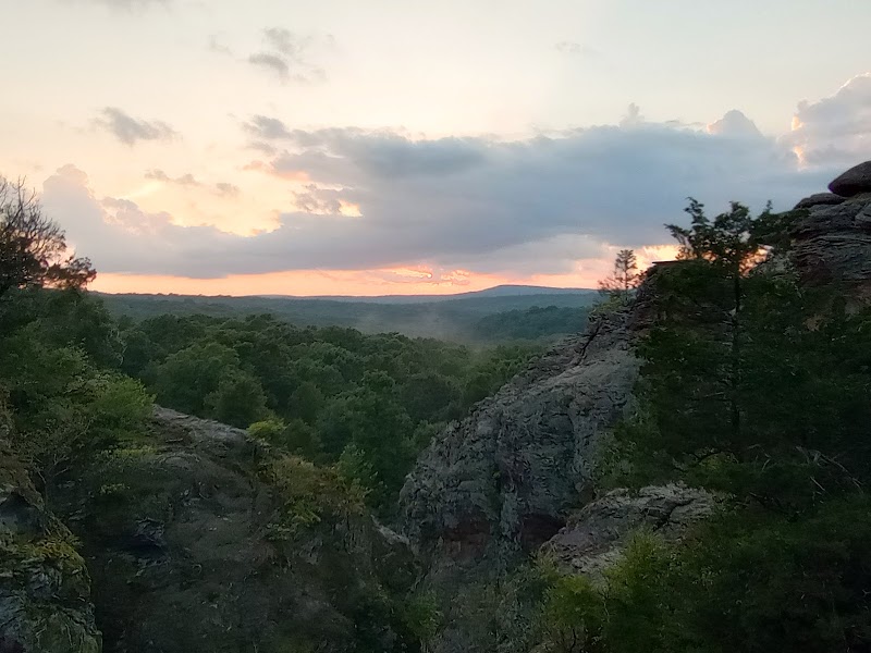
Garden of the Gods: Nature's Dramatic Display
Located in Herod, Illinois, Garden of the Gods offers a stunning showcase of intricate rock formations set against a backdrop of lush forest. This...
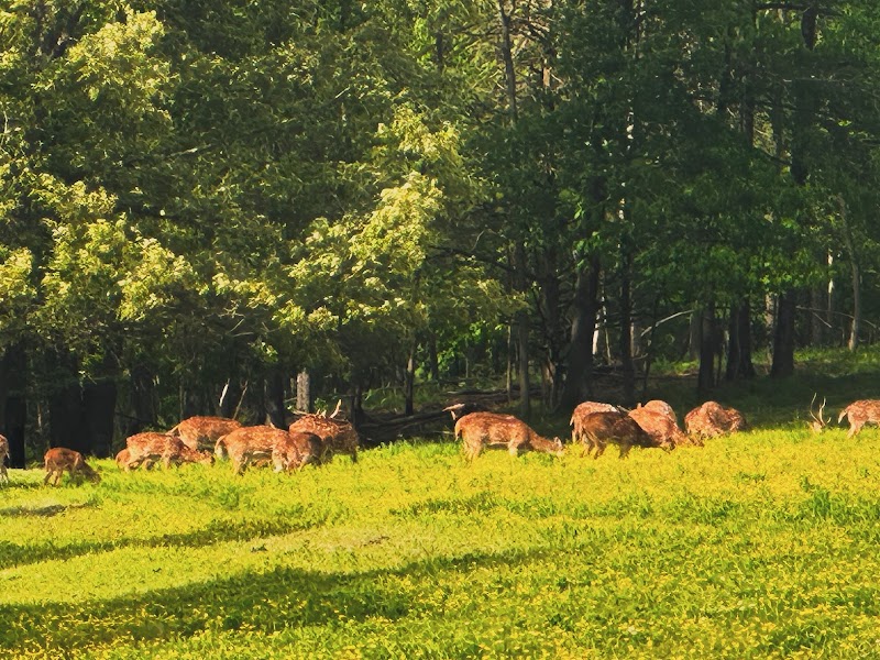
Wildlife Encounters at Samsons Mountain
Samsons Mountain, located near Vienna, IL, offers a glimpse into a thriving natural ecosystem, making it a distinctive destination for nature...
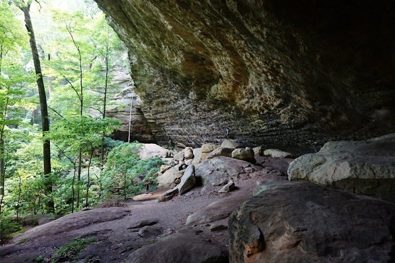
Discover the Enchantment of Ferne Clyffe State Park
Ferne Clyffe State Park, located in Goreville, Illinois, offers a captivating blend of lush forests and stunning rock formations. Known for its...
Discover Land Between the Lakes
Tucked between Kentucky and Tennessee, the Land Between the Lakes National Recreation Area is a wilderness haven sprawling over 170,000 acres....
Local Insights
Hidden Gems
- "Skyline Overlook in Giant City State Park offers expansive views rarely crowded."
- "Eagle Creek Fire Tower for a seldom-visited high vantage point."
- "Hidden creeks along the trail host cool pools perfect for rest stops."
- "The ruins of old logging cabins that mark the region’s history."
Wildlife
- "Watch for pileated woodpeckers hammering old trees."
- "Coyotes sometimes heard at dusk, maintaining their distance."
- "River otters by the water’s edge near streams."
- "Spring wildflowers like trillium and purple coneflower brighten shaded parts."
History
"The trail passes through areas once inhabited by Native American communities and early European settlers, with sites reflecting frontier history and river trade."