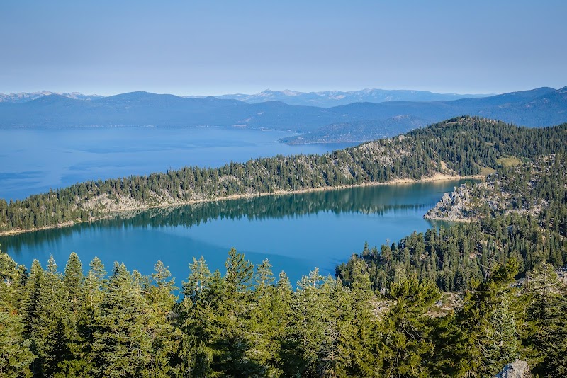
Running the Tahoe Rim Trail in Lake Tahoe

Running the Tahoe Rim Trail in Lake Tahoe
Running the Tahoe Rim Trail is a unique experience that combines breathtaking scenery with challenging terrain, making it an essential activity for outdoor enthusiasts in the Lake Tahoe area. Stretching approximately 165 miles, this trail encircles the lake, offering runners stunning views of alpine lakes, lush forests, and panoramic mountain vistas. The trail’s accessibility from various trailheads makes it a favored destination for both seasoned and novice runners.
Adventure Guide To Running the Tahoe Rim Trail
-
Twin Peaks Trailhead
Located on the southwestern portion of the rim, this segment boasts incredible views of Lake Tahoe and the Sierra Nevada mountains. The trailhead features ample parking and well-marked signs. Runners can enjoy sections that feature diverse landscapes, from granite outcroppings to meadows lined with wildflowers during the summer months. -
Mount Rose Trailhead
Located to the north, this segment is renowned for its elevation gain and stunning vistas as you approach Mount Rose. The trail provides opportunities to see local wildlife and offers panoramic views of the lake and surrounding valleys. At 10,776 feet, Mount Rose is the highest point on the trail, rewarding runners with breathtaking scenery at the summit. -
Upper Echo Lake
This section is popular for its crystal-clear waters and unveils a quieter running experience away from heavier foot traffic. The trail runs alongside Echo Lake and showcases dramatic views of the surrounding peaks. Amenities include picnic areas and campgrounds for those seeking an extended adventure.
Local Insights
The Tahoe Rim Trail has its roots in the region's rich history, being established to preserve the natural beauty of the area while promoting outdoor recreation. The trail is a favored spot for annual events, including the Tahoe Rim Trail Endurance Runs, which attract competitors from all over.
Visitor Tips
- Best times to visit: Late spring through early fall for optimal trail conditions.
- What to bring: Hydration pack, sunscreen, appropriate running shoes, and energy snacks.
- Driving directions: Access to the trailheads can be found via Highway 89, with travel time from central Lake Tahoe averaging about 30 minutes to an hour depending on the trailhead.


