
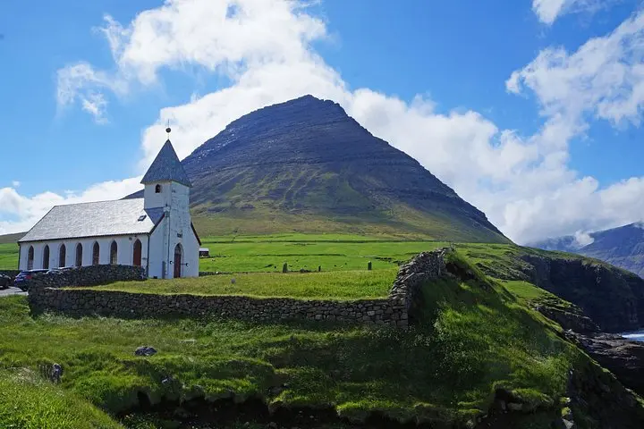
What the day feels like
The morning light here doesn’t just arrive — it negotiates. It slips between fjords, threads through tunnels bored into basalt, and stains the sides of tiny wooden houses until their colors look like deliberate punctuation on a black-and-white map. You drive a narrow causeway, windows fogged from the sea-spray, and realize the road is also a story: a lifeline that stitches together islands whose names — Klaksvík, Kunoy, Viðareiði — are syllables of weather and memory.
This is a day in the northern cluster of the Faroe Islands, a compact geography of mountain teeth and velvet valleys where human settlement has learned to be both small and stubborn. The tour moves like a curious local: through service tunnels, over link-bridges, and into villages that feel both practical and theatrical. In Klaksvík, the archipelago’s largest fishing town, industry hums politely — cranes, nets, the steady business of the sea. Venture farther north and the land thins: Kunoy’s cliffs rise like quiet sentries; Viðareiði, the most northerly village, lays claim to views that will briefly recalibrate your sense of scale.
Geology here reads like an essay in contrasts. Basalt plates and volcanic flows folded under Arctic winds have created steep ridgelines and rounded cliffs; glacial history carved the fjords, and today the ocean continues to sculpt the shoreline. The islands are young in geological terms and uncompromising in their slopes, which is why roads are often tunnels or causeways — modern feats that feel like stitches in an ancient quilt. Culture is braided into this landscape: Viking-era sagas whisper through place names, while centuries of sheep grazing and fishing have shaped everything from the vegetation to the seasonal patterns of work and celebration.
Hiking here is pragmatic rather than epic: expect short, sharp climbs to viewpoints, grassy plateaus where the wind speaks in a thicker voice, and coastal paths that skirt seabird cliffs. Walking in Viðareiði, you’re likely to be the only person on a ridgeline for long stretches. That solitude is not empty — the ocean dares you with its horizon, seabird colonies keep an eye on your passage, and weather fronts pass like curious visitors.
This trip is ideal for travelers who value storytelling as much as scenery. It’s not a scramble up a technical peak; it’s a daylong exploration that combines scenic driving with short walks and cultural stops. For photographers, every tunnel exit and village harbor is a composition waiting for low light. For history buffs, local museums and the tales of heroic rescues on exposed coasts are the human counterpoint to geological drama.
Practicalities are simple but real. The full tour runs about six to eight hours and involves multiple short hikes and walks over variable terrain — expect peat, gravel, and grass trails that can be slippery when wet. Footwear with good tread and waterproof layers are non-negotiable; weather is famously fickle and can change from clear to squall within an hour. Roads are well-maintained but narrow, and the tunnel system that links islands can feel confining if you’re prone to claustrophobia, though they’re engineered to a high standard.
Timing matters. Mid-summer brings the longest, kindest light and is the peak window for seabirds and accessible trails; spring and fall offer moods — mist and migration — but also shorter daylight and windier conditions. Bring a sense of flexibility: the Faroese call it ‘‘veður’’, the weather’s agency. In practice, that might mean swapping a coastal walk for a museum stop in Klaksvík or lingering longer in a village café when rain presses like a lid.
Local cuisine is an honest reward: wherever you stop, seafood is fresh and simple — cod, haddock, and langoustine — and traditional dishes like skerpikjøt (air-dried mutton) reflect the islands’ preservation practices. Conversation with locals is often practical and warm; farming and fishing remain central to daily life, and visitors who show interest in those trades will find stories — and sometimes recommendations for quieter viewpoints — freely given.
For planners: expect limited cell coverage away from towns, so download maps and directions ahead of time. Bring cash and a card (cards are widely accepted, but small vendors may prefer cash). Respect closures and private land; many grazing areas are privately managed even if access is common. And keep in mind sustainable travel principles: the northern islands are ecologically sensitive — stick to paths where they exist, leave no trace, and avoid disturbing nesting birds.
On balance, the Northern Islands combine the pleasures of a coastal road trip with the intimacy of short coastal hikes and cultural immersion. It’s a day that privileges observation over conquest: you come away having watched weather make and unmake the scene, listened to the economy of a fishing town, and walked a few ridgelines where the North Atlantic still feels like an active character in the story. If you want raw, immediate landscapes that are also lived-in, this cluster of islands answers clearly and without fuss.
Trail wisdom
Small choices, better day.
Layer for variable weather
Pack a lightweight waterproof shell and insulating midlayer; conditions change fast between sea-level and ridgeline hikes.
Footwear matters
Wear grippy, waterproof hiking shoes—trails are often boggy or lined with loose scree.
Download offline maps
Cell service can be patchy outside Klaksvík; save route maps and essential info before you leave town.
Respect bird cliffs
Keep distance from nesting colonies and obey access signs; seabirds are sensitive to disturbance.
Local knowledge
Read the place, not just the route.
Watch for native species including Atlantic puffin, Atlantic gray seal.
Keep an eye out for wildlife during the transition between areas and habitats. Respect distance guidelines.
The islands are ecologically fragile with important seabird colonies; visitors should stay on paths, avoid nesting areas, and pack out all waste.
Follow the guide's instructions on size limits, ethical handling, and leave-no-trace practices.
The quiet viewpoint above Viðareiði for long, exposed ocean vistas. A short, seldom-crowded coastal walk on Kunoy that passes small waterfalls and bird terraces
Locally recommended viewpoints and quiet spots known best to local operators.
Norse settlers arrived in the 9th century and left a legacy of place names and fishing traditions; many northern villages preserve oral histories of rescues and seafaring.
Maritime roots and regional tradition shape the waterways and working coasts.
Seasonal guide
Four versions of the same landscape.
Spring
Best forMigratory seabirds · Fewer crowds
ChallengesUnpredictable weather · Shorter daylight
Spring brings nesting seabirds and green shoots but expect brisk winds and variable skies; dress warm and plan for shorter daylight.
Summer
Best forLongest daylight · Easier trail access
ChallengesPeak visitor season · Possible midges in lowlands
Summer (June–August) is the sweet spot for light and accessibility; it’s the most reliable season for open trails and calm conditions.
Fall
Best forMoody skies for photography · Autumn colors
ChallengesIncreasing winds · Shortening days
Fall offers dramatic weather and fewer tourists but be prepared for stronger winds and cooling temperatures.
Winter
Best forAurora viewing on clear nights · Off-season solitude
ChallengesLimited daylight · Rough seas and closed routes
Winter is for the adventurous: weather can be severe and access limited, but quiet landscapes and northern lights reward early risers.
Pack with intention
What to bring.
Good to know
Common questions.
The tour runs about 6–8 hours, depending on stops and weather conditions.
Plan the edges
The details that make the day easier.
The Faroe Islands have more sheep than people — there are roughly 70,000 sheep compared with about 52,000 residents, a ratio that shapes the landscape and local culture.
After a day of cliffs and causeways, head back to Klaksvík for simple, excellent seafood — fresh cod or langoustine — and sample skerpikjøt (air-dried mutton) if offered; small waterfront cafés serve the freshest local catch and are the best places to hear island stories.
- Closest airport
- Vágar Airport (FAE); Driving distance to Klaksvík: ~1.5–2 hours; Cell service: Good in towns, patchy in remote areas; Permits: None typically required, but respect private land and bird-nesting closures.
The Northern Islands host sensitive seabird colonies and fragile turf soils—stay on established paths, pack out all trash, and avoid disturbing wildlife to help preserve these habitats.
Explore by topic
Follow the threads.
Keep exploring
Make the story part of the trip.
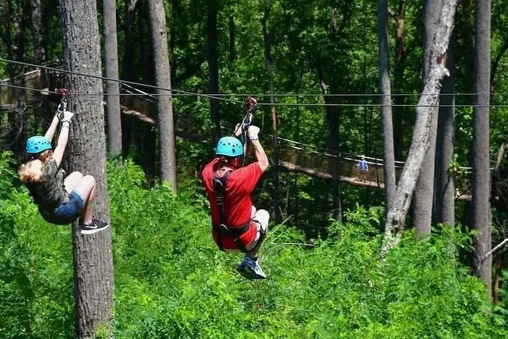 Related story
Less than two hours from Nairobi, Kereita Forest pairs hands-on canopy adventure with quiet montane trails and a sobering colonial history—perfect for families, teams, and curious travelers seeking a full-day pulse of nature.
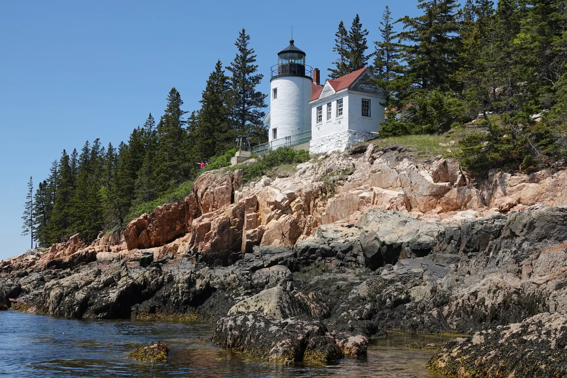 Related story
Set out from Bass Harbor for a private, customizable day on Blue Hill Bay — lighthouses, puffins, seals, and the chance to feel Acadia from the water. Small groups, local captains, unforgettable views.
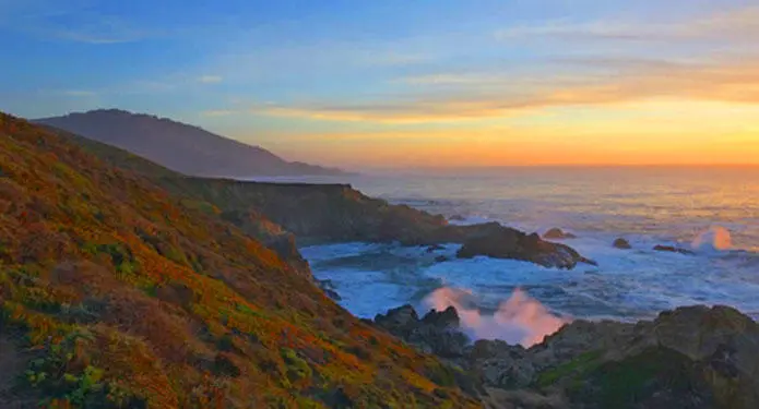 Related story
In four hours you can move from shaded canyon ferns to wind-scoured coastal ridgelines, guided by someone who knows where the light—and the hidden views—live. This private half-day hike on the Monterey Peninsula or Big Sur is compact, curated, and perfect for travelers who want depth without a multiday commitment.