

What the day feels like
The sun slices the low canyon walls into bands of copper and shadow, and a wind that has been traveling across the Sea of Cortez all morning nudges a flock of brown pelicans into lazy, synchronized descent. You are standing on a rocky ledge above Fox Canyon, just outside Cabo San Lucas, where the desert leans toward the water and arroyo beds remember every flash flood. Here, scrubby palo blanco and cacti have learned to read salt in the air; the landscape is neither purely coastal nor purely interior — it’s an in-between place that moves at its own patient pace.
Fox Canyon is a short, intimate canyon hike that rewards attention. It isn’t about summiting a peak or chasing a postcard panorama; it’s about reading textures. The trail negotiates coarse volcanic scree, tight switchbacks between sandstone ribs, and cool, shaded gullies where water clings after rare rains. Rocky shelves serve as natural benches; tide-bent winds tell stories; clever little succulents press their flowers toward half a sky. Hike slowly and you’ll notice the region’s dual personality: salt on the breeze, desert heat from the canyon floor, and a distant, reflective glint of ocean.
This stretch of Baja California Sur sits at the peninsula’s southern tip, where the Pacific and the Sea of Cortez trade currents and sea life. The geology here is relatively young in Earth terms — folded layers and volcanic intrusions sculpted by tectonic motion have left behind canyons cut into softer rock, revealing strata and fossilized shells. That geological history is visible in the canyon walls: banded sediment, mineral streaks, and small caves that were once microhabitats for desert fauna.
Culturally, Cabo San Lucas has long been a meeting point of maritime trade, Indigenous Pericúan influences, and modern tourism. Fox Canyon feels more local than the marina; you’ll find family-run shops selling cold agua frescas and local anglers mending nets near beachfronts, and you might hear the distant thud of a panga engine heading out to the arch. Local guides — many with intimate knowledge of the arroyo routes — can turn a 90-minute stroll into a layered lesson on native plants, animal signs, and seasonal microclimates.
The canyon suits a variety of travelers. For casual hikers it’s an accessible introduction to Baja’s desert-coastal interface: routes can be short and gentle, and shade pockets offer frequent rest spots. For photographers and naturalists, Fox Canyon is a compact stage for dramatic light, bird life, and geological close-ups. For families, the canyon encourages exploration without committing to an all-day effort.
Practicals first: most typical Fox Canyon outings are 2–4 miles round-trip with modest elevation changes — expect steep short pitches rather than long climbs. Terrain alternates between packed dirt, loose scree and jagged rock; good trail shoes with solid tread matter. Water is the logistics linchpin — carry more than you think; a liter per hour of active hiking in warm months is a useful baseline. The best light for photography and cooling breezes tend to be morning or late afternoon, and in summer the midday sun can feel relentless.
Timing and seasonality change the canyon’s character. Winter and spring bring milder temperatures and the chance to see migratory birds and, offshore, migrating whales. Late summer and early fall can be hot but dramatic: storm-fed arroyo pools and a green, ephemeral vegetation flush after tropical moisture.
Leave No Trace matters here. Fox Canyon’s fragile plants and intermittent streams are easy to damage by off-trail shortcuts. Pack out everything, stick to existing paths, and respect local wildlife — a watchful iguana or a prowling fox deserves distance and silence. Local tour operators increasingly emphasize low-impact practices; look for guides who follow sustainable policies.
How to get there: Fox Canyon sits a short drive from Cabo San Lucas. Many visitors combine a morning canyon hike with an afternoon La Paz-bound coastal stretch or a sunset boat trip to Land’s End. If you go independently, follow the signed local roads toward inland arroyos and park where the trailhead is obvious; if in doubt, ask a local tienda owner — they’ll point you toward the arroyo and the best access.
What to expect on the trail: start cool and slow, conserve fluid, and pick your exposures. Wear sun protection — the sun has teeth here. Bring a lightweight wind layer for evenings near the coast, since the ocean breeze intensifies after sundown. For photographers, a telephoto (for birds and distant boats), a wide-angle (for canyon context), and a neutral density filter (for smoothing moving clouds or splashing water) will cover most scenarios.
Fox Canyon doesn’t demand a guiding rope or mountaineering skills, but it rewards attention, respect, and curiosity. It’s a place of small revelations: a roadrunner’s dart, a mineral vein shimmering in a light band, the way the wind seems to gather and rest in a pocket before moving on. For travelers who want a salt-tinged walk that reads like a compressed course in Baja’s landscape and life, Fox Canyon is a tidy, satisfying chapter between ocean and desert.
Trail wisdom
Small choices, better day.
Start early or late
Temperatures drop and light improves in morning or late afternoon; avoid midday heat, especially in summer.
Carry extra water
Bring at least 1 liter per hour of hiking; there is no reliable water source on the trail.
Use grippy footwear
Terrain switches between loose scree and jagged rocks — trail shoes with aggressive tread reduce slips and ankle rolls.
Respect seasonal arroyo flow
After heavy rains, avoid narrow sections that can channel flash floods; check local conditions before entering tight gorges.
Local knowledge
Read the place, not just the route.
Watch for native species including Mexican gray fox, Brown pelican (and other shorebirds).
Keep an eye out for wildlife during the transition between areas and habitats. Respect distance guidelines.
Water is scarce and vegetation is fragile; stick to trails, avoid disturbing plants and wildlife, and carry out all trash to protect the canyon’s delicate ecosystems.
Follow the guide's instructions on size limits, ethical handling, and leave-no-trace practices.
A shallow arroyo pool that forms seasonally beneath a shaded overhang (best after rains). A small sun-bleached cave high on the canyon wall that offers a framed view of the sea at sunset
Locally recommended viewpoints and quiet spots known best to local operators.
The Cape region has long been a maritime crossroads; local ranching and fishing communities shaped many of the arroyo routes that hikers now follow.
Maritime roots and regional tradition shape the waterways and working coasts.
Seasonal guide
Four versions of the same landscape.
Spring
Best forWildflowers and migratory birds · Mild temperatures
ChallengesOccasional muddy patches after winter rains · Breezy conditions near the coast
Spring balances comfortable temps with floral displays and high bird activity — a prime time for photography and naturalist walks.
Summer
Best forDramatic storms and arroyo pools · Fewer crowds on weekdays
ChallengesHigh heat and humidity · Risk of flash floods during tropical moisture
Summer is hot and humid; brief jungle-green transformations can follow storms but plan for heat and changing conditions.
Fall
Best forPleasant hiking temperatures · Late-season migratory bird viewing
ChallengesResidual summer heat early in season · Variable rain events
Fall offers cooling temperatures and quieter trails; early fall can still be warm, so plan water and timing accordingly.
Winter
Best forMilder daytime weather · Offshore whale watching nearby
ChallengesCooler nights and stronger ocean winds · Shorter daylight hours
Winter brings comfortable daytime hiking and nearby marine life viewing; dress in layers for cool evenings and brisk sea breezes.
Pack with intention
What to bring.
Good to know
Common questions.
Most outings are 2–4 miles round-trip and take 1–3 hours depending on pace and photo stops.
Plan the edges
The details that make the day easier.
Cabo San Lucas marks the southern tip of the Baja California Peninsula where the Pacific Ocean and the Gulf of California meet — a junction that creates rich marine biodiversity and dramatic coastal weather.
After your hike, seek out a small local cevichería in Cabo San Lucas — fresh fish tacos and chilled coconut agua fresca are the perfect counterpoint to a dusty canyon morning. Support family-run businesses and consider booking a local guide for deeper insights into plant uses and arroyo lore.
- Location
- short drive from Cabo San Lucas; Distance: 2–4 miles round-trip; Difficulty: moderate; Parking: informal trailhead parking; Water: bring your own; Guides: optional but recommended for first-timers.
Use refillable water bottles, avoid single-use plastics, stick to durable surfaces to avoid trampling plants, and hire local guides who demonstrate low-impact practices.
Explore by topic
Follow the threads.
Keep exploring
Make the story part of the trip.
 Related story
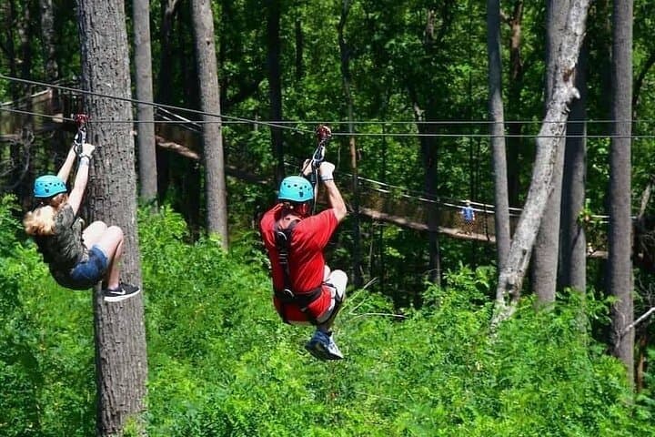
Less than two hours from Nairobi, Kereita Forest pairs hands-on canopy adventure with quiet montane trails and a sobering colonial history—perfect for families, teams, and curious travelers seeking a full-day pulse of nature.
Set out from Bass Harbor for a private, customizable day on Blue Hill Bay — lighthouses, puffins, seals, and the chance to feel Acadia from the water. Small groups, local captains, unforgettable views.
In four hours you can move from shaded canyon ferns to wind-scoured coastal ridgelines, guided by someone who knows where the light—and the hidden views—live. This private half-day hike on the Monterey Peninsula or Big Sur is compact, curated, and perfect for travelers who want depth without a multiday commitment.