
What the day feels like
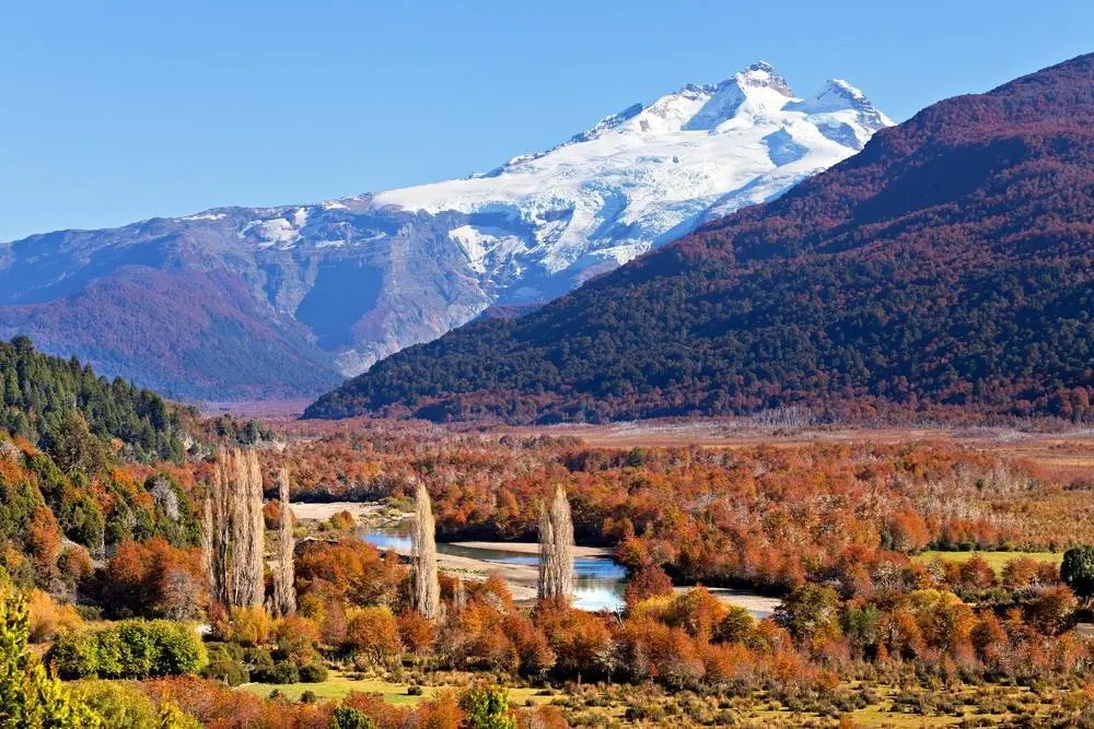
A diesel engine sighs and the road opens up. Pines close ranks, then break apart to reveal a string of cold lakes—Gutiérrez, Mascardi, the silver ribbon of the Manso—and finally Pampa Linda, where the air tastes like metal and snow. From here Cerro Tronador is not just a peak on a map; it’s a sound and a presence. The mountain earned its name for the booming cracks and avalanches that roll down its ice-clad flanks. You can feel that impulse in the valley: the glaciers flex, the forest listens, and even the Manso River seems to dare you forward.
Cerro Tronador rises like a sentinel on the border between Argentina and Chile, its three summits crowned with permanent snow. It’s the highest point in Nahuel Huapi National Park and a natural theater where glaciers perform constant, low-grade drama. Most travelers approach Tronador as a full-day outing from Bariloche—an hour and a half to two hours of scenic driving along Route 40 and dirt roads, a lunch stop at Pampa Linda, and short hikes to viewpoints and glacier tongues such as the Ventisquero Negro (the “Black Glacier”). The result is an easy-to-reach, high-impact Patagonian day that rewards minimal sweat with maximum spectacle.
Geologically, Tronador is a study in contrasts. Volcanic bedrock supports glaciers that grind into dark, astonishing moraines; the Ventisquero Negro owes its color to volcanic ash and rock debris mixed into the ice. Over millennia the mountain sculpted the valleys and fed rivers that still trace their routes toward the lakes. Human history in the area is layered too—Indigenous Mapuche presence, early 20th-century mountaineering expeditions, and, more recently, the protective hand of Nahuel Huapi National Park, one of Argentina’s foundational conservation areas.
There are a handful of sensible ways to see Tronador. Booked products like the “Day Tour to Cerro Tronador from Bariloche”, “Adventure to Cerro Tronador and Black Ventisquero”, or the longer “Full Day Cerro Tronador: Eternal Snow and Hanging Glaciers” all follow the same spine: drive through a sequence of lakes and rivers, stop at Pampa Linda for a break, and hike short, well-marked trails to viewpoints of the glacier and summit massif. For photographers and soft-adventure travelers, the “Magestic Cerro Tronador and Ventisquero Negro impressive” itineraries tailor extra time at the lagoon and glacier edge.
A practical note on the hikes: most trail segments near Pampa Linda and Ventisquero Negro are short—expect 2–6 km roundtrip on modest, sometimes rocky paths with 100–400 m of elevation change depending on the viewpoint you choose. Trails pass through dense lenga and coihue forests, across braided streams, and finally open to the cathedral-like amphitheater of moraine and ice. The terrain is friendly for reasonably fit hikers but can turn slippery when wet or icy; microspikes are useful in shoulder seasons.
Weather is a patient, changeable partner here. Summer (December–March) offers long daylight, t-shirt weather toward midday, and still-chilly mornings; spring and fall bring rapid swings and occasional snow above 1,000 meters. Winter converts the whole route into a high-contrast, snowbound world—beautiful, demanding, and often only accessible by specialized operators.
Culturally, Bariloche supplies the human frame for a Tronador trip: alpine-style lodges, chocolate shops, and a community with deep ties to the lake-and-mountain economy. Local guides are invaluable not just for safety but for narrative—pointing out endemic flora, recounting the mountain’s glacial voice, and explaining how the Ventisquero Negro’s dark face is a visible record of the region’s volcanic past.
If you’re planning the visit, treat this as a day that blends driving with short, powerful hikes. Bring layers, give yourself time at viewpoints, and choose a guided tour if you want context and logistics handled. For those who want to linger, some operators combine Tronador with other Bariloche highlights—Circuito Chico viewpoints, the Arrayanes forest, or boat legs on Lake Nahuel Huapi.
The payoff is never just the postcard angle. It’s the hush in the lenga wood before you see the glacier, the sense of your smallness against a mountain that still moves, and the way afternoon light scours the snow into ridges and shadows. Tronador doesn’t promise conquest; it offers perspective. And for a day trip from Bariloche—accessible, dramatic, and surprisingly intimate—it’s hard to imagine a better place to listen for the thunder of the ice.
Recommended local itineraries in the area capture this mix of spectacle and approachability: half-day photography stops en route to Pampa Linda, full-day guided hikes that time your arrival at Ventisquero Negro when the light cuts the glacier into facets, and family-friendly excursions that pair the road trip with easy lakeshore walks. Whatever you choose, stay aware of the mountain’s immediacy: keep to trails, respect park rules, and leave the silence as you found it.
Cerro Tronador rewards curiosity and preparation. It’s a mountain that will let you see and hear the landscape working—glaciers calving, rivers rearranging stones, forests reclaiming moraine—and when you drive back toward Bariloche with sore feet and blown-out photographs, you’ll understand why travelers keep returning to this thunderous, patient peak.
Trail wisdom
Small choices, better day.
Layer for variable weather
Temperatures swing quickly between valley and glacier—pack a windproof shell and insulating mid-layer to stay comfortable during stops and photo sessions.
Footwear matters
Trails can be rocky, muddy, or icy; sturdy hiking boots with good tread (and microspikes in shoulder seasons) will keep you steady.
Hydrate and snack on the move
There are limited services at Pampa Linda—carry 1–2 liters of water and calorie-dense snacks for energy during hiking segments.
Listen for glacial activity
Tronador’s 'thunder' is real—keep a respectful distance from unstable moraine edges and heed guide instructions near the glacier.
Local knowledge
Read the place, not just the route.
Watch for native species including Andean condor, South Andean deer (huemul).
Keep an eye out for wildlife during the transition between areas and habitats. Respect distance guidelines.
Glacial retreat is observable here; follow park rules, stay on trails, and avoid collecting ice or disturbing fragile moraine ecology.
Follow the guide's instructions on size limits, ethical handling, and leave-no-trace practices.
Pampa Linda viewpoint near the Manso streams for close-up glacial valley views. Isla Corazón viewpoint along the drive—an often-overlooked lakeside stop with great reflections
Locally recommended viewpoints and quiet spots known best to local operators.
Nahuel Huapi National Park, which encompasses Cerro Tronador, was formally established in 1934 and is one of Argentina’s earliest conservation areas.
Maritime roots and regional tradition shape the waterways and working coasts.
Seasonal guide
Four versions of the same landscape.
Spring
Best forwildflower displays · fewer tourists
Challengesunstable trails from thaw · occasional late snow
Spring brings melting snow, swelling streams, and dramatic contrasts—expect muddy trails and rapidly changing conditions.
Summer
Best forlong daylight · clear glacier views
Challengesstrong sun at altitude · busy tour schedules
Summer is ideal for accessibility and comfort—pack sun protection and aim for early starts to avoid afternoon cloud buildup.
Fall
Best forgolden lenga forests · crisp, clear air
Challengesshortening daylight · cooler nights
Fall offers crisp conditions and strong light for photography, with cooler temperatures and potential early snow above treeline.
Winter
Best forsnowbound landscapes · high-contrast photography
Challengesroad closures · need for winter vehicles or guides
Winter turns Tronador into a cold, dramatic playground—best visited with experienced guides and proper winter gear.
Pack with intention
What to bring.
Good to know
Common questions.
Expect approximately 1.5–2 hours of driving each way depending on stops and road conditions; some stretches are gravel.
Plan the edges
The details that make the day easier.
Cerro Tronador gets its name from the thunder-like sounds of glacier calving; the Ventisquero Negro appears dark because volcanic ash and rock debris are embedded in the ice.
Bariloche pairs alpine-style architecture and famous artisanal chocolate with Mapuche cultural influences—enjoy a lakeside stew or local smoked trout after a day on Tronador.
- Know-before-you-go
- Full-day excursion from Bariloche (8–10 hrs); most tours include transport and a guide; limited services at Pampa Linda; bring layers, water, and sun protection.
Stick to official trails, avoid approaching unstable glacier fronts, pack out trash, and choose local guides who support conservation efforts in Nahuel Huapi National Park.
Explore by topic
Follow the threads.
Keep exploring
Make the story part of the trip.
 Related story
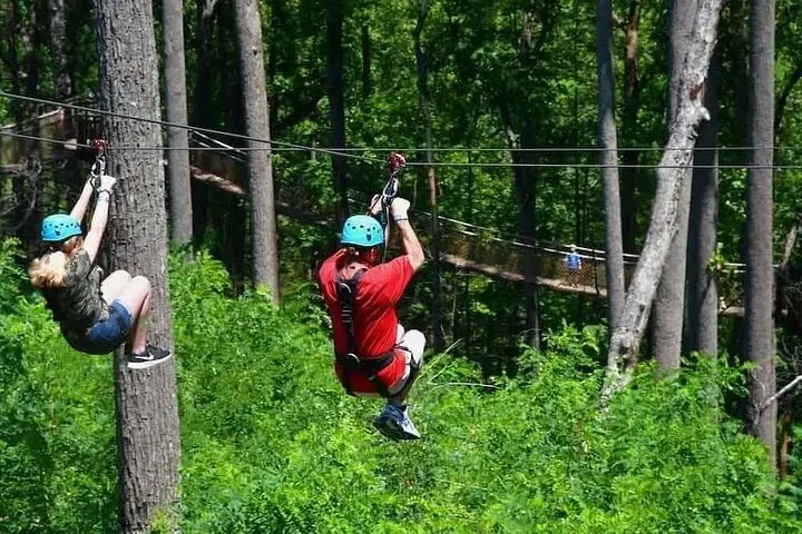
Less than two hours from Nairobi, Kereita Forest pairs hands-on canopy adventure with quiet montane trails and a sobering colonial history—perfect for families, teams, and curious travelers seeking a full-day pulse of nature.
 Related story
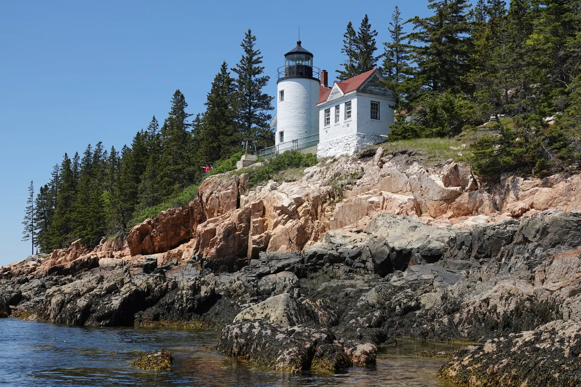
Set out from Bass Harbor for a private, customizable day on Blue Hill Bay — lighthouses, puffins, seals, and the chance to feel Acadia from the water. Small groups, local captains, unforgettable views.
 Related story
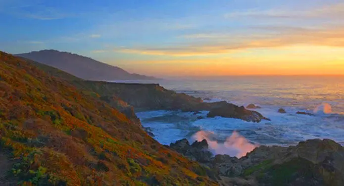
In four hours you can move from shaded canyon ferns to wind-scoured coastal ridgelines, guided by someone who knows where the light—and the hidden views—live. This private half-day hike on the Monterey Peninsula or Big Sur is compact, curated, and perfect for travelers who want depth without a multiday commitment.