Timing Your River Trip During Optimal Water Levels Near Buchanan, VA
The James River near Buchanan, VA offers an exciting mix of calm waters and moderate rapids when timed right. Understanding the river’s flow and preparing with practical gear can make your river trip both safe and thrilling.
Check Water Levels Before You Go
Use the USGS online gauges for the James River flow data to plan your trip during safe and fun water levels.
Wear Grippy, Waterproof Footwear
Rocks near the river can be slippery; shoes that drain quickly and have good traction reduce risks of slipping.
Start Early to Avoid Afternoon Heat
Morning launches mean cooler temps, less wind, and calmer water conditions, improving comfort and safety.
Carry a Dry Bag for Essentials
Keep your phone, snacks, and extra clothes dry and secure in a waterproof bag to avoid any mishaps.
Timing Your River Trip During Optimal Water Levels Near Buchanan, VA

2-Day/1 Night Buchanan to Alpine
10.5 Miles • The Shortest Overnight Trip
Discover the peaceful waters of Virginia on a 2-day kayak trip from Buchanan to Alpine. Perfect for beginners and outdoor enthusiasts alike, this adventure combines scenic paddling with overnight camping under the stars. Dive into nature and create unforgettable memories with Twin Rivers Outfitters.
The James River curls with a restless energy near Buchanan, VA, daring you to jump in and navigate its winding route. But this river—alive and fiercely itself—demands respect and good timing. Your river trip’s success hinges on understanding the water’s mood: flow rates that are too low leave you scraping over rocks, while levels too high invite swift currents that push without mercy.
Aim for spring and early summer when melting snows and rain feed the river, creating water levels between 1,200 and 2,200 cubic feet per second—ideal for paddling and floating without constant portaging. The section near Buchanan offers roughly 10 miles of river with moderate rapids interspersed with calm pools, striking a balance between adrenaline and accessibility.
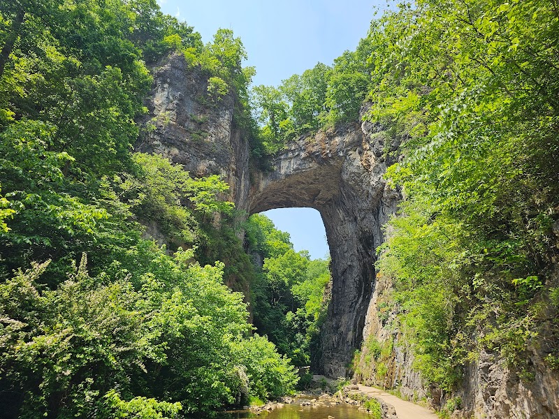
The terrain around this stretch features forested bluffs and occasional sandy banks that call for midday breaks. Along the banks, oaks and maples lean in, their leaves rustling like a whispered challenge. Birdsong pierces the air, and turtles eye your passage with slow amusement. It’s a living corridor, one that rewards patience and awareness.
Preparation starts here: sturdy, waterproof footwear will guard against slippery rocks, while a reliable dry bag protects essentials from the river’s spray. Timing your launch early in the morning avoids the midday sun overhead; hydration is crucial—water bottles or hydration packs should be within reach.
Keep an eye on local water gauges; the USGS maintains real-time flow data for the James River, helping you pick the sweet spot for your trip. Weather forecasts tied to rainfall upstream will also signal when the river swells or settles.
The river’s challenge lies in its unpredictability. When the current quickens, let it guide rather than fight, watching for submerged logs or sudden drops. Staying alert for changing water depths can mean the difference between a smooth run and a dreaded swim.
In every stretch, the river feels alive—sometimes playful, sometimes fierce. Embracing this balance makes your river trip near Buchanan not just a journey but a conversation with one of Virginia’s most compelling waterways.
Nearby Trips
All Adventures
Boat Charters
Water Activities
Adventures near Buchanan
Discover the unique and memorable adventures that make Buchanan special.
Frequently Asked Questions
When are the water levels at their best for river trips near Buchanan?
Water levels peak typically in late spring (April through June) due to rain and snowmelt, providing ideal conditions between 1,200 and 2,200 cfs. Checking real-time USGS data ensures safer and more enjoyable timing.
Are there any sections of the river near Buchanan that are suitable for beginners?
Yes, many stretches near Buchanan feature moderate rapids (Class I-II) that are approachable for those new to paddling, especially during optimal flow conditions.
What wildlife might I see along the riverbanks?
Expect herons, kingfishers, turtles sunning on rocks, and deer venturing close to water. In spring and fall, migratory birds are more abundant.
Is fishing allowed along this stretch of the James River?
Yes, the river is popular with anglers for bass, catfish, and trout. Be mindful of fishing regulations and local catch limits.
What are some lesser-known viewpoints or stops along the river near Buchanan?
The Horseshoe Bend area offers a striking panorama with fewer visitors. Small sandy beaches provide quiet places to rest and observe the river’s pulse.
Are there any environmental concerns to be aware of when river tripping here?
Stay on established launch points and avoid disturbing natural banks to prevent erosion. Properly pack out trash and avoid introducing invasive species by cleaning gear before and after trips.
Recommended Gear
Waterproof Hiking Sandals
Provide traction and quick drainage for navigating slippery river rocks.
Hydration Pack
Keeps water accessible during long trips, essential for avoiding dehydration.
Lightweight Rain Jacket
Protects against sudden showers and wind chills on the water.
Dry Bag
Keeps valuables safe and dry from splash and potential capsizing.
Local Insights
Hidden Gems
- "Horseshoe Bend viewpoint"
- "Secluded sandbars for lunch breaks"
- "Small rapids known locally as “The Chutes”"
Wildlife
- "Great Blue Heron"
- "Eastern Painted Turtle"
- "White-tailed Deer"
- "Osprey during migration"
History
"The James River near Buchanan holds historical significance as part of early American settlement routes and was a site for paddlewheel river transport in the 19th century."