Discover the Unforgettable Journey on the War Eagle Trail at Hobbs State Park

Discover the Unforgettable Journey on the War Eagle Trail at Hobbs State Park
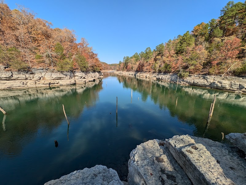
Embarking on the War Eagle Trail at Hobbs State Park, just outside Rogers, Arkansas, offers an exceptional hiking experience amidst the stunning natural beauty of the Ozarks. This well-maintained trail spans approximately 4 miles and meanders through rich forests, creating a serene atmosphere perfect for nature enthusiasts and casual hikers alike. The trail features a picturesque backdrop of diverse flora and fauna, with opportunities to encounter local wildlife such as deer, wild turkeys, and various bird species.
As you traverse the War Eagle Trail, views of the sparkling waters of the War Eagle River can be witnessed, which provides a refreshing sight amidst the towering trees. The trail’s gradual inclines make it manageable for hikers of all skill levels, and strategically placed rest areas encourage you to pause and soak in the tranquil surroundings.
Hobbs State Park is part of the Ozark National Forest, offering an expansive area dedicated to preserving the natural beauty and ecological diversity of the region, making it a cherished destination for outdoor lovers.
Adventure Guide to Hike the War Eagle Trail
Key Facts and Details:
- Location: Hobbs State Park, Arkansas
- Length: 4 miles (round trip)
- Difficulty: Moderate
- Trail Type: Out-and-back
- Best Season to Visit: Spring and Fall for ideal temperatures and vibrant foliage
Recommended Suggestions:
- Bring plenty of water and snacks, as amenities are limited in the park.
- Wear sturdy footwear for uneven terrain.
- A camera is a must for capturing the stunning landscapes and wildlife.
Interesting Facts:
- Hobbs State Park is the largest state park in Arkansas, covering over 12,000 acres.
- The War Eagle Trail is named after the historical significance of the War Eagle River, a major area for early settlers.
History of the Area: The park's natural landscape reflects thousands of years of geological activity, and it includes remnants of the region's diverse history, including Native American trails. The area's establishment helped preserve crucial ecosystems and promote outdoor recreation among locals and visitors who appreciate the need for conservation efforts.


