
What the day feels like
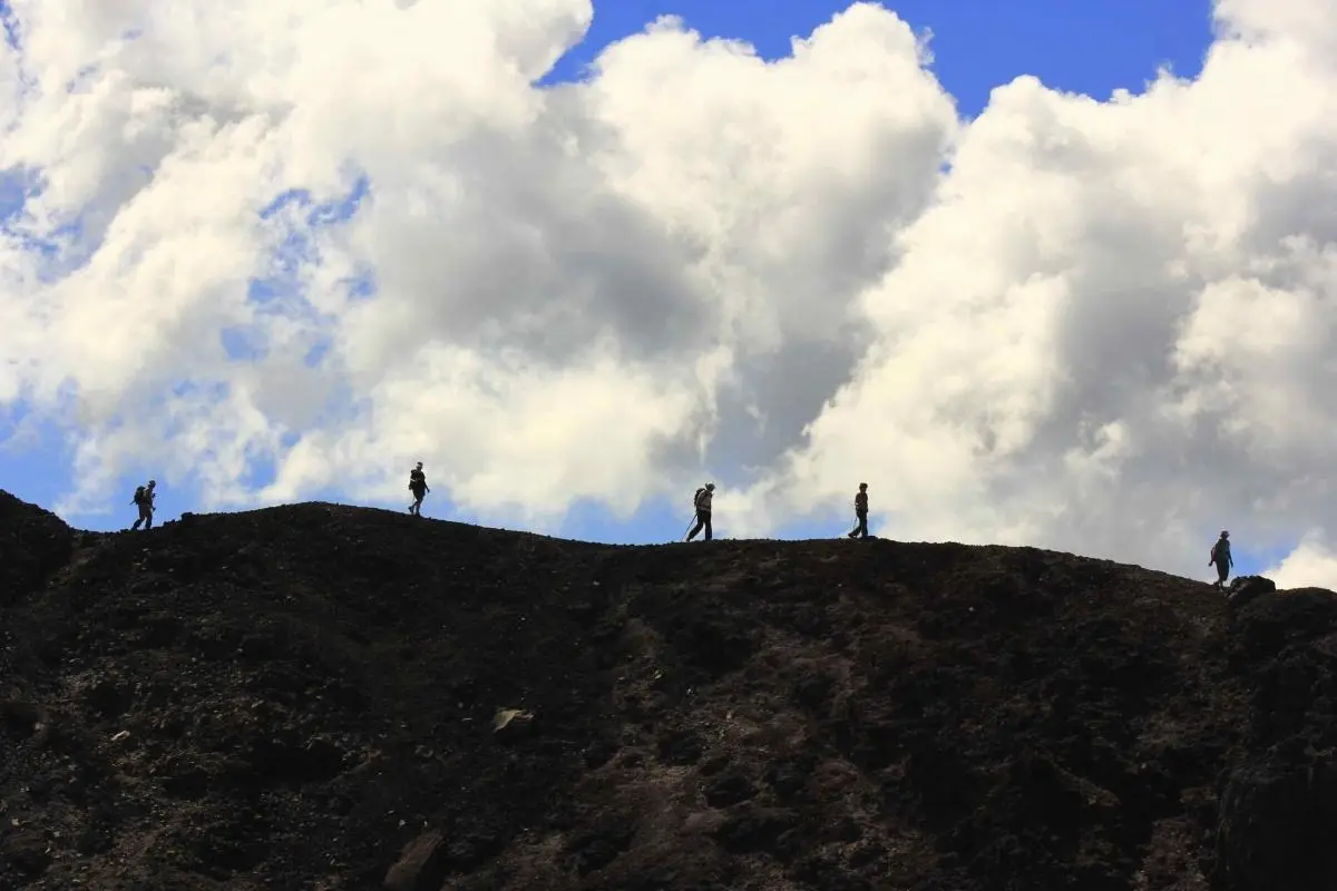
You reach for the rim before you know you've climbed. The path opens, and the city of San Salvador shrinks into a patchwork of roofs and haze, while the crater answers like a slow, enormous breath—three miles across, its lip a serrated silhouette against the sky. Pine and coffee trees lean toward the void, and on clear days the sweep of Lake Ilopango glints like a second, smaller ocean. Up here, at roughly 5,900 feet above sea level, the air is thinner, cooler, and honest: it reveals the volcano for what it is—less a threat now and more a geography that demands respect.
El Boquerón National Park sits on the flanks of the dormant San Salvador Volcano, an easy escape from the bustle of the capital. The place is compact enough to admire in a morning or the golden hour before sunset, but detailed enough that repeated visits keep revealing subtleties: a family of motmots flitting through undergrowth, a gardener's patch of wildflowers holding fast to thin soil, a local vendor setting up her pupusa stand where the trail empties into the car park. The sensation is part outdoor theater, part urban balcony—nature elbowing in on metropolitan life.
Geologically, the crater is a textbook of Central America's restless history. The volcano is a member of the Pacific Ring of Fire and its crater—a bowl about three miles across and plunging roughly 1,830 feet—is the visible record of eruptions and collapses spanning millennia. The rim itself is a mix of paved viewpoints and loose, root-strewn earth trails, often bordered by pines that smell resinous in the sun. On cloud-washed mornings you can feel the weather change minute by minute; afternoons bring a dry, luminous clarity that makes the distant volcanoes in the ring of fire read like a layered map.
There is cultural as well as natural history stitched to the place. For decades the volcano was effectively non-visitable, a sentinel watched from afar; today El Boquerón is a national park and a common day trip for Salvadorans and visitors alike. Local guides—many of them born and raised in communities around San Salvador—lead birdwatching excursions and private hikes, and their knowledge reshapes the landscape: they can point out endemic birds, tell the story of a specific old trail and where the best pupusa stand waits, or explain how coffee cultivation once shaped these slopes.
Why go? The draw is immediate and practical. A hike around the rim is rewarding without being punishing: most routes are short—often 1–2 miles depending on how far you follow the rim—with minimal elevation gain if you start at the parking area. The payoff is visual: crater views that fold San Salvador into the horizon, good prospects for birding (look for species like the Bushy-crested Jay and Rufous Sabrewing), and a chance to be in a highland microclimate that feels distinct from the lowland heat. For travelers with limited time, El Boquerón fits cleanly into half-day excursions; operators sell everything from layover tours to full private experiences that pair the crater with downtown San Salvador, Santa Tecla, or a traditional pupusa stop.
Practicalities are simple but matter. The park is roughly a 30–45 minute drive from central San Salvador depending on traffic; bring layers—the ridge can be windy and cool even when the city is hot. Trails around the crater are a mix of paved lookout points and compacted dirt; sturdy shoes with decent traction are recommended. Birdwatchers should bring a long lens; photographers will want a wide-angle for the crater and a tele for the birds. Hydration is an easy win: water is available at kiosks near the car park, but bring a liter if you plan a longer walk. Guided birdwatching or private volcano tours are excellent options if you want depth—guides bring local context, point out species and geological features, and can time visits for sunrise or late afternoon light.
If you're building the trip: combine El Boquerón with San Salvador's historic center to get a sense of the capital's cultural heart, or book a dedicated birdwatching tour that includes Ecoparque El Espino for an even broader species list. Layover travelers can feasibly squeeze in a half-day visit; full-day visitors can add Santa Tecla's Paseo El Carmen for dinner and nightlife.
The park is easy to love and worth respecting. Stick to trails, avoid disturbing nesting birds, and consider booking a local guide—their fees are a direct contribution to conservation-friendly tourism. Whether you come for the view, the birds, or the rare quiet that highland winds provide, El Boquerón is an efficient, rewarding reminder that volcanoes are not only about danger: they're about perspective.
Trail wisdom
Small choices, better day.
Acclimate and layer up
Temperatures at the rim can be 10–15°F cooler than the city—bring a windbreaker and light layers for comfort.
Hydrate and snack
Carry at least 1 liter of water and a small snack—roadside kiosks exist, but a packed bottle beats waiting.
Bring good footwear
Trails mix pavement and loose dirt with exposed roots—trail runners or hiking shoes with grip work best.
Go early or late for light and birds
Bird activity and dramatic light are best at dawn and late afternoon; mid-day is often hazy.
Local knowledge
Read the place, not just the route.
Watch for native species including Bushy-crested Jay, Rufous Sabrewing (hummingbird).
Keep an eye out for wildlife during the transition between areas and habitats. Respect distance guidelines.
Support local guides and stick to marked paths; tourism revenue helps fund park maintenance and bird-conservation efforts.
Follow the guide's instructions on size limits, ethical handling, and leave-no-trace practices.
Viewpoint over Lake Ilopango (on clear days the lake’s blue is striking). Ecoparque El Espino — a nearby birding hotspot with different habitats and species
Locally recommended viewpoints and quiet spots known best to local operators.
The San Salvador Volcano was once a restricted area; local communities and guides played a key role in transforming the site into El Boquerón National Park accessible to visitors.
Maritime roots and regional tradition shape the waterways and working coasts.
Seasonal guide
Four versions of the same landscape.
Spring
Best forcrisp clear views · birdwatching · cool hikes
Challengesvariable winds · occasional morning fog
Late winter to spring (Feb–Apr) is dry and clear—excellent for views and birding, with cool ridge temperatures.
Summer
Best forlush vegetation · photography of storm light
Challengesfrequent afternoon showers · reduced visibility on rainy days
Summer brings green slopes and dramatic skies, but expect showers—bring a rain layer and flexible plans.
Fall
Best forfewer crowds · mild weather
Challengessome rainfall early in season · hazy horizons at times
Autumn offers pleasant hiking conditions and lower visitor counts—good for relaxed walks along the rim.
Winter
Best forclear panoramas · crisp mornings
Challengescool temperatures at altitude · possible thin cloud layers
The dry winter months yield the clearest views; mornings can be chilly—dress in layers and aim for midday warmth.
Pack with intention
What to bring.
Good to know
Common questions.
Plan 1–3 hours: 30–45 minutes to drive from central San Salvador, plus 30–90 minutes walking the viewpoints and short trails.
Plan the edges
The details that make the day easier.
El Boquerón’s crater measures roughly three miles across and plunges about 1,830 feet; the park sits at approximately 5,905 feet above sea level.
Finish your visit with a pupusa—El Salvador’s iconic stuffed corn tortilla—at a roadside stand near the park, and pair it with a cup of locally grown coffee; nearby Santa Tecla offers artisan shops and Paseo El Carmen for evening dining.
- Distance from San Salvador
- ~30–45 minutes; Elevation: ~5,900 ft; Typical visit: 1–3 hours; Best for: half-day hikers, birders, and photographers; Facilities: viewpoints, kiosks, basic restrooms.
Respect marked trails, avoid single-use plastics, and consider booking certified local guides who invest in conservation and community initiatives.
Explore by topic
Follow the threads.
Keep exploring
Make the story part of the trip.
 Related story
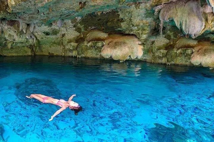
Dive into the Yucatán’s secret freshwater caverns and drift over the shallow reef gardens of Yalku Lagoon—an accessible, half-day snorkel pairing that blends geology, Mayan history, and vivid marine life.
 Related story
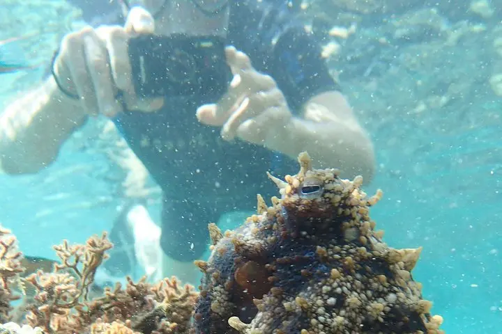
Slip beneath Porto Santo’s sunlit surface to find a mosaic of seagrass meadows, volcanic shelves, and playful schools of fish. This three-hour snorkeling tour pairs small-group access with local stewardship—ideal for travelers who value marine life over crowds.
 Related story
Spend a day on a high-speed boat exploring Cozumel’s famed reefs and the shallow sand flats of El Cielo. This full-day trip offers clear water, abundant marine life, and guided snorkeling at three prime sites—ideal for both first-timers and seasoned reef lovers.