
What the day feels like
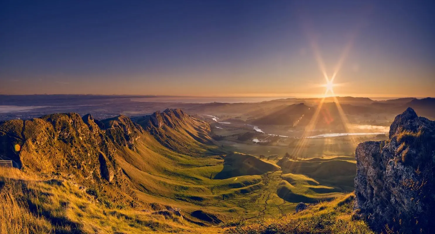
You start before dawn, the sugar-beet black of Hawke’s Bay slowly leaching into blue. The road up to Te Mata Peak narrows and climbs, hedgerows and orchards slipping past like pages. By the time you step out at the summit car park the east is bruised with color: Napier and the Pacific lay low beneath a washed ribbon of light, and the ridge—Te Mata’s spine—sits like a weathered sentinel over Havelock North and Hastings. A cool wind plays through the tussock; the land breathes. This is a hill that insists you look, not just travel.
Te Mata Peak (Te Mata-o-Rongokako, 399 metres) is modest by alpine standards but colossal in presence. The walk up its eastern faces is short enough to be a morning ritual and complex enough to give you options: a steep, direct approach to the lookout; the longer ridgeline loop that rewards persistence with a sequence of viewpoints; or an easy scenic drive that drops you close to the high saddles. Whatever path you pick, the gradient of the land here carries history, geology and local life in equal measure.
Geologically the peak is the remnant of sedimentary layers pushed and folded into a dramatic escarpment. Underfoot the trail alternates between compacted clay, stony shelf, and the occasional band of sandstone—so you feel the hill’s sedimentary bones as you pick your way. The scrub and open pasture that cloak the upper slopes give way to native regenerating pockets and a canopy of manuka and kanuka lower down. In autumn the slope is a patchwork of russet and gold; in spring the hill hums with insects and wren-like fantails darting the track.
Cultural story is immediate: Te Mata is Te Mata-o-Rongokako, named for a great Māori ancestor, Rongokako. Local iwi regard the peak as tapu; its contours are woven into myth—some say the ridge is the body of a sleeping giant. You’ll find interpretive plaques near the summit that outline these stories and offer a respectful reminder: this is both a public park and a place of meaning. The peak’s prominence also made it a natural vantage for generations—an obvious lookout for early Māori and later settlers—and today it’s a short pilgrimage for anyone who values a day that begins with a wide horizon.
For hikers the practical pleasures are immediate. The most-used summit route is a firm track that gains roughly 300–400 metres depending on your start point; short, steep sections alternate with gentler stretches. The ridgeline loop extends the outing to 4–8 kilometres depending on which side you return by; expect 1–3 hours for a standard loop at a steady pace. Terrain is variable but non-technical—sturdy trail shoes with good grip are enough for most people—though the ridge can be exposed and wind-swept, so pack layers.
Early morning or late afternoon are the smartest times to visit: light is softer, temperatures kinder, and you avoid midday glare and the busiest parking periods. Bring water: shade is limited along the upper ridge and the wind will dry you out before you notice. If you crave solitude, choose a midweek sunrise; the views are no less dramatic but the trail is quieter. For families or casual strollers there are shorter picnic-friendly paths that finish at vantage points cushioned with grass.
Locals love Te Mata for more than the views. Mountain bikers use the lower ridges and farm roads; birdwatchers time dawn to catch grey warblers and tūī; photographers chase the golden hour magnetized to the escarpment. There’s also a practical side: the road access makes it a realistic “first-hike” for visitors who want big perspectives without a day in the boots.
Planning notes: parking at the summit car park is limited during peak weekend hours, so get there early or be prepared to walk from lower laybys. Respect signage—some areas are fenced off to protect regeneration projects, and the peak sits within a network of private and public land. Dogs may be allowed on leash in some areas but check local rules before arriving; the land’s cultural status often comes with specific access guidelines.
What you’ll remember most is how intimate the panorama feels. From the ridge you can trace the curve of Hawke Bay, the patchwork of vineyards that make this region famous, and the low profile of Napier’s Art Deco roofs. On a clear day the Pacific hums silver; on stormy evenings the escarpment becomes a knife’s edge against brooding clouds. The land here doesn’t merely sit—there’s a conversational quality to it: wind arguing with grass, gulls questioning the thermals, and human silence folding into place.
The hill is a tidy lesson in why small peaks matter. Te Mata gives you perspective without the logistics of a multi-day trek; it offers culture without the curated distance of a museum; it hands you a horizon palpable enough to plan the rest of your day. Finish with coffee in Havelock North, or a tasting at one of the nearby wineries—Hawke’s Bay pairs its landscapes with food and wine almost as generous as its views. Practically, take layers, leave no trace, and give the morning a few extra minutes: the light here rewards patience.
If you go, bring curiosity as part of your kit. Ask at the park entrance about current track conditions and native regeneration initiatives. If you have time, stretch the outing into a longer day trip that includes a visit to nearby vineyards or the coastal drives toward Cape Kidnappers. Te Mata Peak is short on pretension and rich in payoff: the kind of place that asks little and gives a wide world back in return.
Trail wisdom
Small choices, better day.
Start at sunrise for fewer people and better light
Parking fills fast on weekends; an early start rewards you with long shadows and quieter trails.
Layer for wind and rapid temperature change
The ridge can be exposed—carry a windproof shell even on mild days.
Respect cultural signage
Te Mata Peak is a wahi tapu (sacred place); follow posted guidance and avoid fenced regeneration areas.
Footwear with grip is more useful than heavy boots
Trail surfaces vary from hard-packed clay to stony sections—supportive trail shoes are ideal.
Local knowledge
Read the place, not just the route.
Watch for native species including tūī, grey warbler (riroriro).
Keep an eye out for wildlife during the transition between areas and habitats. Respect distance guidelines.
Local groups run regeneration projects to restore native bush on the slopes; please stay on marked trails to protect recovering vegetation.
Follow the guide's instructions on size limits, ethical handling, and leave-no-trace practices.
Saddle Track viewpoint—less crowded and offers a different angle on the escarpment. Lower farm tracks with wildflower patches in spring—good for quiet birdwatching
Locally recommended viewpoints and quiet spots known best to local operators.
Te Mata Peak—Te Mata-o-Rongokako—holds strong significance for local iwi and early settlers; the ridge was historically a strategic lookout and features in Māori oral history.
Maritime roots and regional tradition shape the waterways and working coasts.
Seasonal guide
Four versions of the same landscape.
Spring
Best forwildflower displays · mild hiking · birdwatching
Challengesmuddy sections after rain · cool mornings
Spring brings blossoms and active birdlife; trails can be soft in places after rain, so waterproof shoes help.
Summer
Best forclear vistas · sunrise/sunset photography · picnics
Challengeshot midday sun · limited shade · higher visitor numbers
Long, warm days offer excellent visibility but bring crowds and strong sun—plan early and bring sun protection.
Fall
Best fordramatic light · cooler hikes · fewer tourists
Challengesshorter daylight hours · breezy conditions
Autumn provides crisp air and dramatic color—ideal for photographers—but evenings turn early, so time your return.
Winter
Best forstormy seascapes · quiet trails · moody photography
Challengesstrong winds · cold temperatures · occasional wet, slippery mud
Winter delivers brooding skies and solitude; dress warmly and expect wind-exposed conditions on the ridge.
Pack with intention
What to bring.
Good to know
Common questions.
Routes vary: a direct summit walk can take 30–45 minutes; a ridgeline loop or extended return is typically 1–3 hours depending on pace and route chosen.
Plan the edges
The details that make the day easier.
Te Mata Peak’s Māori name is Te Mata-o-Rongokako, honoring an ancestor from local iwi, and the summit reaches approximately 399 metres above sea level.
Hawke’s Bay is as much about food and wine as it is about vistas—pair a morning on Te Mata with a vineyard tasting in the afternoon and a bistro dinner in Havelock North to experience the region’s culinary culture.
- Distance
- 1–8 km options • Elevation: up to ~399 m • Time: 30 minutes–3 hours • Access: summit car park + walking tracks • Best time: sunrise
Stay on marked trails to protect regenerating native bush, avoid drone use over sensitive cultural areas, and respect iwi requests and signage to preserve both ecology and heritage.
Explore by topic
Follow the threads.
Keep exploring
Make the story part of the trip.
 Related story
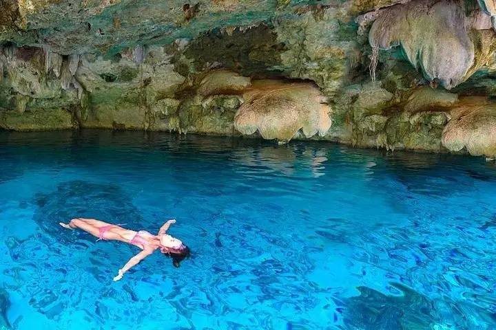
Dive into the Yucatán’s secret freshwater caverns and drift over the shallow reef gardens of Yalku Lagoon—an accessible, half-day snorkel pairing that blends geology, Mayan history, and vivid marine life.
 Related story
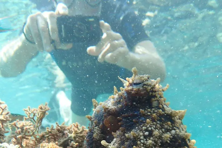
Slip beneath Porto Santo’s sunlit surface to find a mosaic of seagrass meadows, volcanic shelves, and playful schools of fish. This three-hour snorkeling tour pairs small-group access with local stewardship—ideal for travelers who value marine life over crowds.
 Related story
Spend a day on a high-speed boat exploring Cozumel’s famed reefs and the shallow sand flats of El Cielo. This full-day trip offers clear water, abundant marine life, and guided snorkeling at three prime sites—ideal for both first-timers and seasoned reef lovers.